Transport Functions
Rail
Road
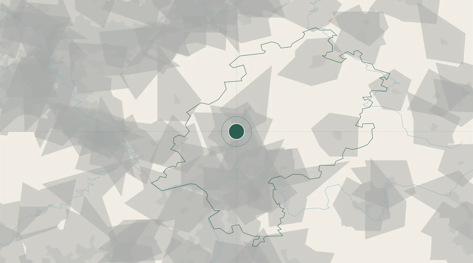
Hub Profile
Place type
Provincial seat
Region
Hesse
Population
74,411
Time zone
Europe/Berlin
Elevation
162 m
Location
Nearby Logistics Neighbours
Cities
- 1Linden7 km
- 2Grossen Buseck10 km
- 3Langgöns11 km
- 4Hüttenberg12 km
- 5Asslar13 km
Airports
- 1Siegerland Airport42 km
- 2Frankfurt Main Airport62 km
- 3Wiesbaden Army Airfield64 km
- 4Frankfurt-Egelsbach Airport69 km
- 5Fritzlar Army Airfield74 km
Trade Zones
- 1Rheinische Revier SWZ164 km
- 2Freeport of Duisburg173 km
- 3ZFU La Cité Behren-lès-Forbach200 km
- 4Luxembourg Free Port203 km
- 5ZFU Hautepierre232 km
DatabookThe Record of Consolidated Knowledge
Germany beyond logistics?