UN/LOCODE hub · Germany
DESGS
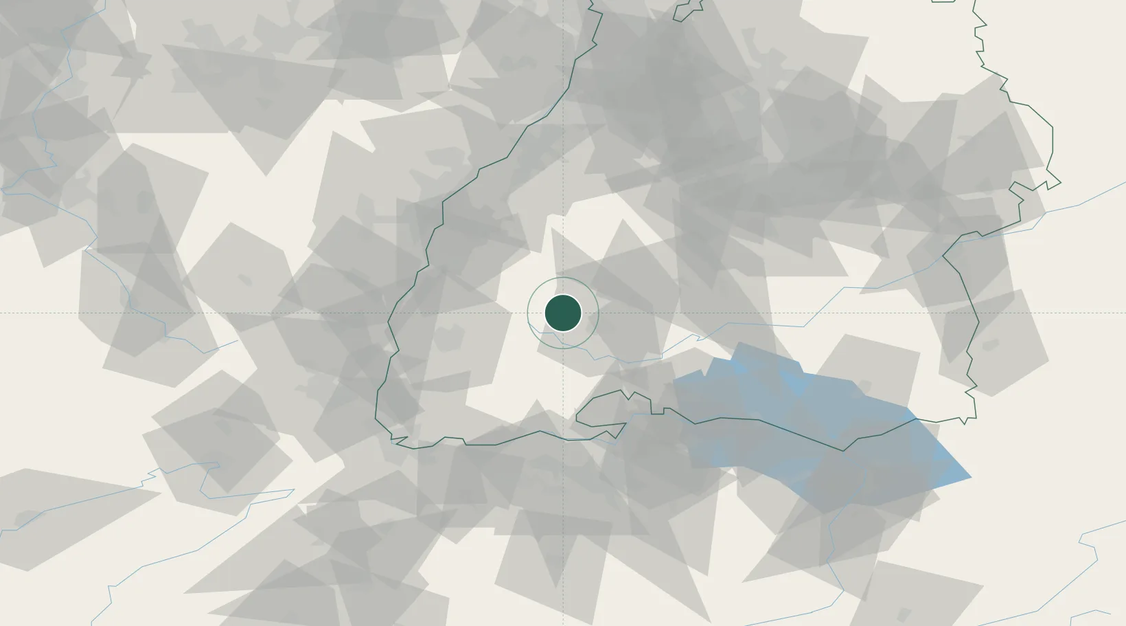
Sankt Georgen im Schwarzwald
48.1333°, 8.3333°
13,636
Population
2
Transport functions
Transport Functions
Rail
Road
Hub Profile
Place type
Populated place
Region
Baden-Wurttemberg
Population
13,636
Time zone
Europe/Berlin
Elevation
852 m
Location
Nearby Logistics Neighbours
Cities
- 1Tennenbronn6 km
- 2Unterkirnach6 km
- 3Monchweiler8 km
- 4Langenbach10 km
- 5Villingen-Schwenningen11 km
Ports
- 1Genova418 km
- 2Bruxelles418 km
- 3Savona425 km
- 4Rada Di Vado430 km
- 5Chiavari - Lavagna433 km
Airports
- 1Donaueschingen-Villingen Airfield23 km
- 2Lahr Airport46 km
- 3Strasbourg Airport69 km
- 4Colmar Houssen airport72 km
- 5Karlsruhe Baden-Baden Airport74 km
Trade Zones
- 1ZFU Neuhof62 km
- 2ZFU Hautepierre70 km
- 3ZFU Mulhouse86 km
- 4ZFU Belfort126 km
- 5ZFU Montbéliard135 km
DatabookThe Record of Consolidated Knowledge
Germany beyond logistics?