Transport Functions
Rail
Road
Hub Profile
Place type
Local administrative seat
Region
Baden-Wurttemberg
Population
2,895
Time zone
Europe/Berlin
Elevation
805 m
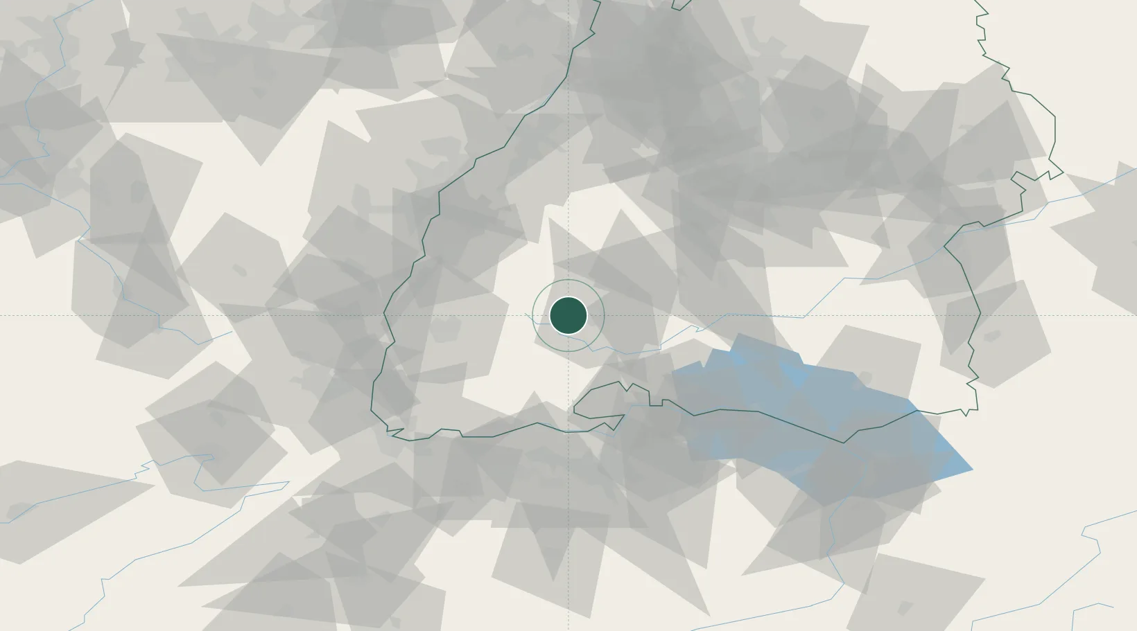
Location
Nearby Logistics Neighbours
Cities
- 1Monchweiler5 km
- 2Sankt Georgen im Schwarzwald6 km
- 3Villingen-Schwenningen7 km
- 4Langenbach7 km
- 5Tennenbronn11 km
Ports
- 1Genova412 km
- 2Savona419 km
- 3Bruxelles424 km
- 4Rada Di Vado425 km
- 5Chiavari - Lavagna427 km
Airports
- 1Donaueschingen-Villingen Airfield17 km
- 2Lahr Airport51 km
- 3Zürich Airport71 km
- 4Strasbourg Airport74 km
- 5Mengen-Hohentengen Airfield75 km
Trade Zones
- 1ZFU Neuhof68 km
- 2ZFU Hautepierre76 km
- 3ZFU Mulhouse85 km
- 4ZFU Belfort126 km
- 5ZFU Montbéliard134 km
DatabookThe Record of Consolidated Knowledge
Germany beyond logistics?