Transport Functions
Multimodal
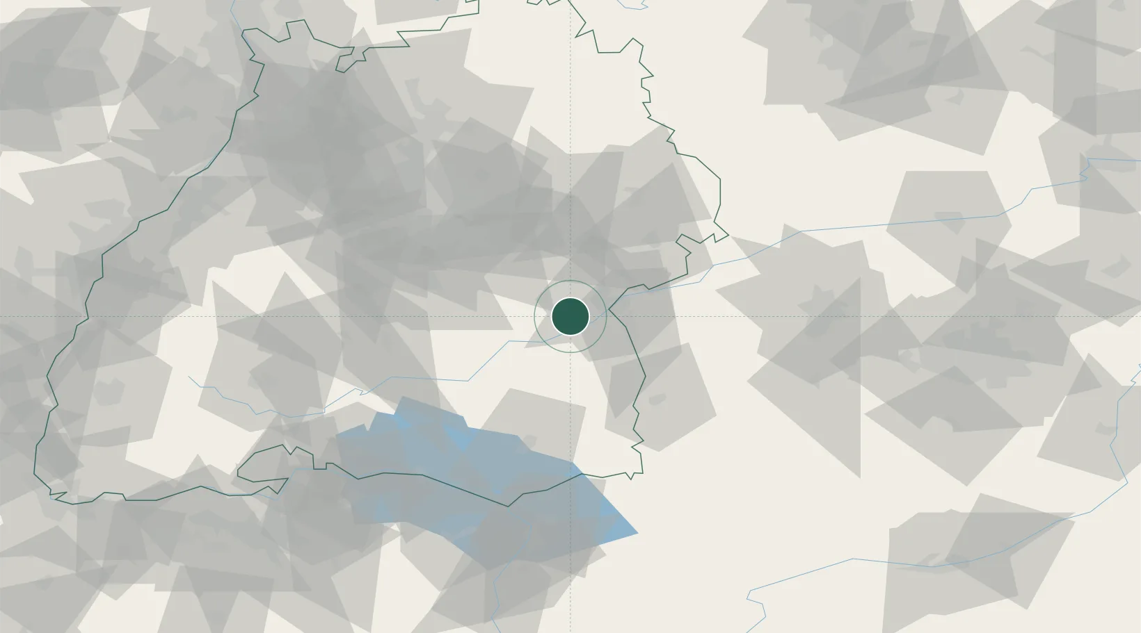
Hub Profile
Place type
Populated place
Region
Baden-Wurttemberg
Time zone
Europe/Berlin
Elevation
493 m
Location
Nearby Logistics Neighbours
Cities
- 1Erbach5 km
- 2Dellmensingen8 km
- 3Ehingen10 km
- 4Blaustein11 km
- 5Achstetten11 km
Ports
- 1Porto Di Lido-Venezia382 km
- 2Nogaro384 km
- 3Porto Di Chioggia395 km
- 4Grado396 km
- 5Monfalcone402 km
Airports
- 1Laupheim Air Base16 km
- 2Mengen-Hohentengen Airfield47 km
- 3Memmingen Allgau Airport51 km
- 4Stuttgart Airport58 km
- 5Bodensee Airport Friedrichshafen79 km
Trade Zones
- 1ZFU Neuhof153 km
- 2ZFU Hautepierre159 km
- 3ZFU Mulhouse196 km
- 4Livigno Free Trade Zone203 km
- 5ZFU La Cité Behren-lès-Forbach230 km
DatabookThe Record of Consolidated Knowledge
Germany beyond logistics?