UN/LOCODE hub · Germany
DEBLS

Blaustein

48.4167°, 9.9167°
2
Transport functions

Transport Functions

Rail
Road
UN/LOCODE

Hub Profile

Place type
Local administrative seat
GeoNames
Region
Baden-Wurttemberg
GeoNames
Time zone
Europe/Berlin
GeoNames
Elevation
492 m
GeoNames

Location

Location of DEBLS
Natural Earth 10m (public domain) · Baden-Wurttemberg · DEBLS · 48.42, 9.92GoogleOSMYandex

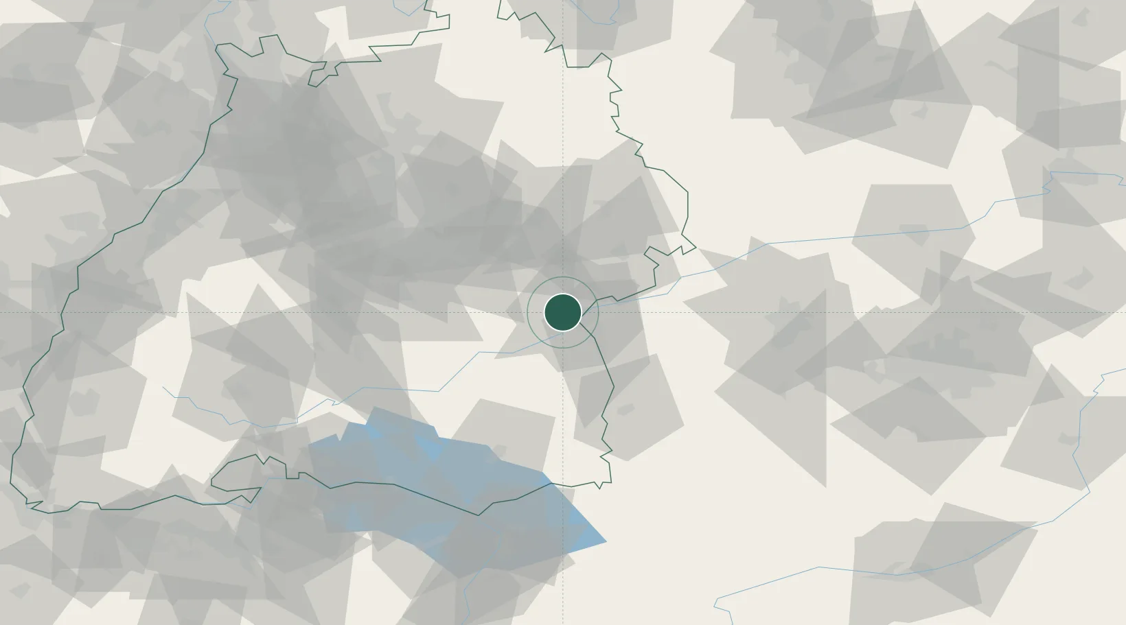
Nearby Logistics Neighbours

Cities
  1. 1Neu Ulm6 km
  2. 2Ulm7 km
  3. 3Beimerstetten9 km
  4. 4Erbach10 km
  5. 5Stetten11 km
Nearest neighbours — logibook spatial index (haversine) over the source coordinates
Ports
  1. 1Porto Di Lido-Venezia384 km
  2. 2Nogaro385 km
  3. 3Grado396 km
  4. 4Porto Di Chioggia398 km
  5. 5Monfalcone402 km
Nearest neighbours — logibook spatial index (haversine) over the source coordinates
Airports
  1. 1Laupheim Air Base22 km
  2. 2Memmingen Allgau Airport53 km
  3. 3Mengen-Hohentengen Airfield57 km
  4. 4Stuttgart Airport60 km
  5. 5Lechfeld Air Base74 km
Nearest neighbours — logibook spatial index (haversine) over the source coordinates
Trade Zones
  1. 1ZFU Neuhof159 km
  2. 2ZFU Hautepierre165 km
  3. 3ZFU Mulhouse206 km
  4. 4Livigno Free Trade Zone210 km
  5. 5ZFU La Cité Behren-lès-Forbach234 km
Nearest neighbours — logibook spatial index (haversine) over the source coordinates
DatabookThe Record of Consolidated Knowledge
Germany beyond logistics?
Browse databook

All Sources

LocationsUN/LOCODE
UN/LOCODE — free
Portsthe NGA World Port Index
Public domain (US gov)
AirportsOurAirports
Public domain
Trade Zonesthe World Bank SEZ database
CC BY 4.0
Trade ZonesOpen Zone Map
CC BY
← Germany locations