Transport Functions
Rail
Road
Hub Profile
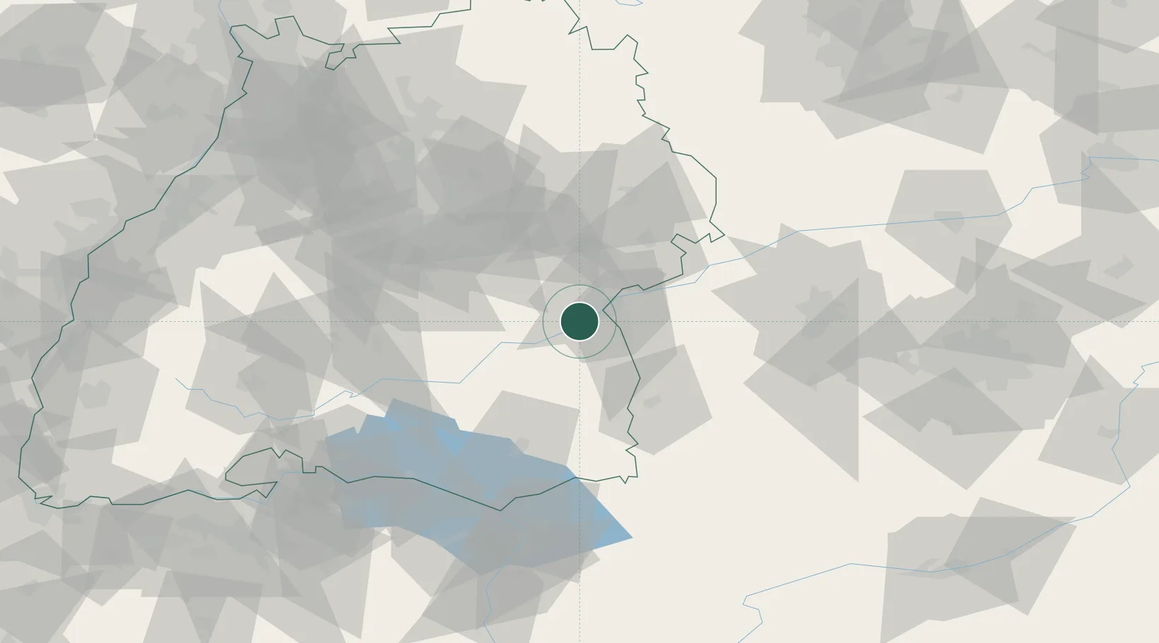
Place type
Populated place
Region
Baden-Wurttemberg
Population
13,331
Time zone
Europe/Berlin
Elevation
484 m
Location
Nearby Logistics Neighbours
Cities
- 1Dellmensingen4 km
- 2Stetten5 km
- 3Achstetten8 km
- 4Staig8 km
- 5Blaustein10 km
Ports
- 1Porto Di Lido-Venezia378 km
- 2Nogaro379 km
- 3Porto Di Chioggia391 km
- 4Grado391 km
- 5Monfalcone397 km
Airports
- 1Laupheim Air Base13 km
- 2Memmingen Allgau Airport47 km
- 3Mengen-Hohentengen Airfield49 km
- 4Stuttgart Airport63 km
- 5Lechfeld Air Base74 km
Trade Zones
- 1ZFU Neuhof158 km
- 2ZFU Hautepierre164 km
- 3ZFU Mulhouse200 km
- 4Livigno Free Trade Zone201 km
- 5ZFU La Cité Behren-lès-Forbach236 km
DatabookThe Record of Consolidated Knowledge
Germany beyond logistics?