Transport Functions
Multimodal
Hub Profile
Place type
Populated place
Region
Saxony-Anhalt
Population
1,673
Time zone
Europe/Berlin
Elevation
73 m
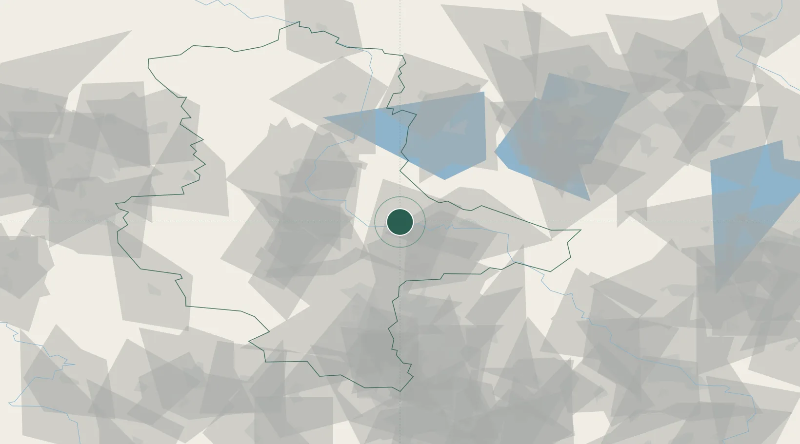
Location
Nearby Logistics Neighbours
Cities
- 1Dessau-Rosslau8 km
- 2Elsnigk15 km
- 3Grimme16 km
- 4Coswig17 km
- 5Quellendorf17 km
Airports
- 1Zerbst Airfield12 km
- 2Leipzig/Halle Airport53 km
- 3Holzdorf Air Base68 km
- 4Berlin Brandenburg Airport103 km
- 5Leipzig–Altenburg Airport104 km
Trade Zones
- 1Kostrzyń-Słubice SEZ183 km
- 2Most - Joseph Industrial Zone187 km
- 3Žatec - Triangle Strategic Industrial Zone191 km
- 4Podbořany Industrial Zone204 km
- 5Szczecin Duty Free Zone233 km
DatabookThe Record of Consolidated Knowledge
Germany beyond logistics?