Transport Functions
Road
Multimodal
Hub Profile
Place type
Populated place
Region
Brandenburg
Time zone
Europe/Berlin
Elevation
188 m
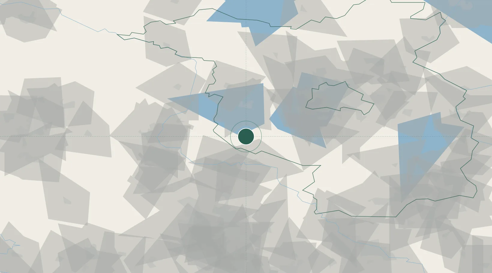
Location
Nearby Logistics Neighbours
Airports
- 1Zerbst Airfield29 km
- 2Holzdorf Air Base60 km
- 3Berlin Brandenburg Airport72 km
- 4Leipzig/Halle Airport82 km
- 5Leipzig–Altenburg Airport128 km
Trade Zones
- 1Kostrzyń-Słubice SEZ153 km
- 2Szczecin Duty Free Zone199 km
- 3Most - Joseph Industrial Zone199 km
- 4Žatec - Triangle Strategic Industrial Zone206 km
- 5Podbořany Industrial Zone221 km
DatabookThe Record of Consolidated Knowledge
Germany beyond logistics?