Transport Functions
Multimodal
Hub Profile
Place type
Populated place
Region
Bavaria
Time zone
Europe/Berlin
Elevation
447 m
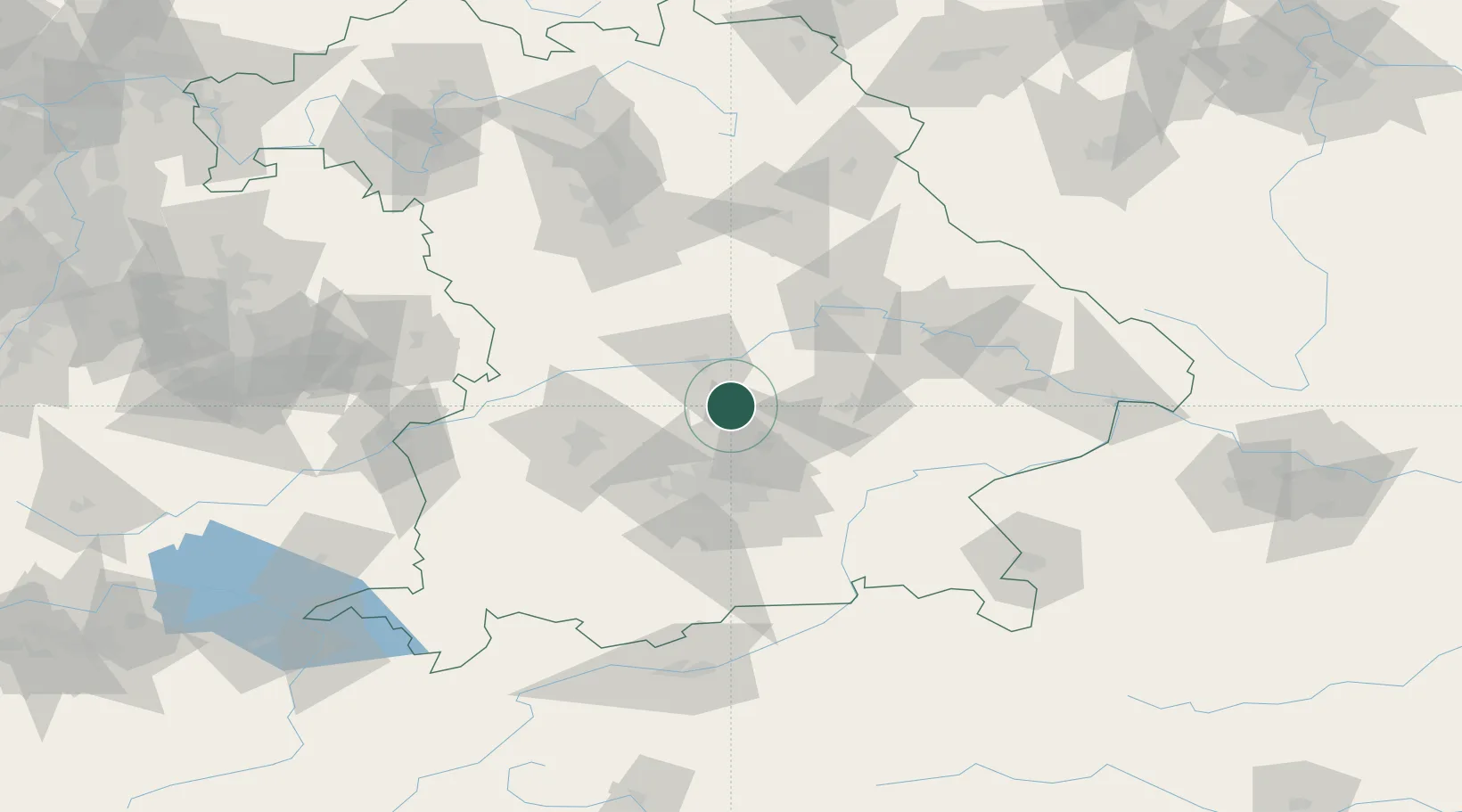
Location
Nearby Logistics Neighbours
Cities
- 1Fahlenbach10 km
- 2Kirchdorf an der Amper10 km
- 3Eulenried14 km
- 4Nandlstadt15 km
- 5Geisenfeld15 km
Ports
- 1Nogaro332 km
- 2Monfalcone341 km
- 3Grado342 km
- 4Porto Di Lido-Venezia354 km
- 5Trieste361 km
Airports
- 1Ingolstadt Manching Airport19 km
- 2Munich Airport26 km
- 3Landshut Airfield32 km
- 4Neuburg Air Base34 km
- 5Altstetten Ultralight Field36 km
Trade Zones
DatabookThe Record of Consolidated Knowledge
Germany beyond logistics?