Transport Functions
Rail
Road
Multimodal
Hub Profile
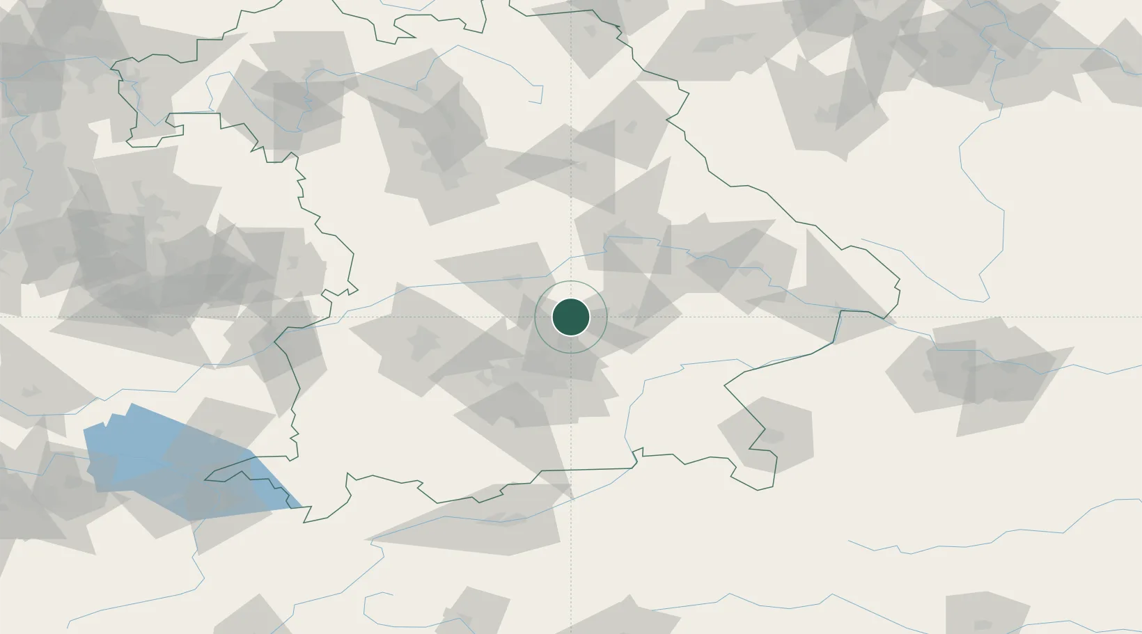
Place type
Populated place
Region
Bavaria
Population
5,044
Time zone
Europe/Berlin
Elevation
471 m
Location
Nearby Logistics Neighbours
Cities
- 1Mauern8 km
- 2Gammelsdorf11 km
- 3Langenbach12 km
- 4Kirchdorf an der Amper13 km
- 5Geisenhausen15 km
Ports
- 1Nogaro325 km
- 2Monfalcone333 km
- 3Grado335 km
- 4Porto Di Lido-Venezia350 km
- 5Trieste353 km
Airports
- 1Landshut Airfield18 km
- 2Munich Airport20 km
- 3Ingolstadt Manching Airport28 km
- 4Altstetten Ultralight Field46 km
- 5Neuburg Air Base48 km
Trade Zones
DatabookThe Record of Consolidated Knowledge
Germany beyond logistics?