Transport Functions
Road
Multimodal
Hub Profile
Place type
Populated place
Region
Bavaria
Time zone
Europe/Berlin
Elevation
405 m
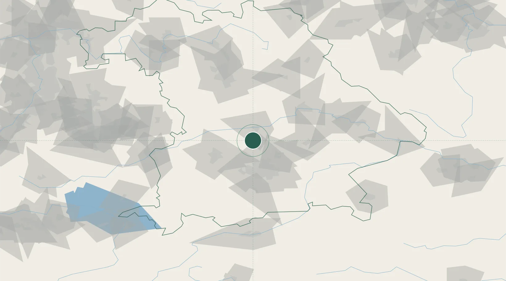
Location
Nearby Logistics Neighbours
Cities
- 1Baar-Ebenhausen10 km
- 2Fahlenbach12 km
- 3Geisenhausen14 km
- 4Karlshuld14 km
- 5Manching16 km
Ports
- 1Nogaro341 km
- 2Monfalcone351 km
- 3Grado351 km
- 4Porto Di Lido-Venezia360 km
- 5Trieste371 km
Airports
- 1Ingolstadt Manching Airport17 km
- 2Neuburg Air Base21 km
- 3Altstetten Ultralight Field32 km
- 4Munich Airport37 km
- 5Augsburg Airport40 km
Trade Zones
DatabookThe Record of Consolidated Knowledge
Germany beyond logistics?