Transport Functions
Multimodal
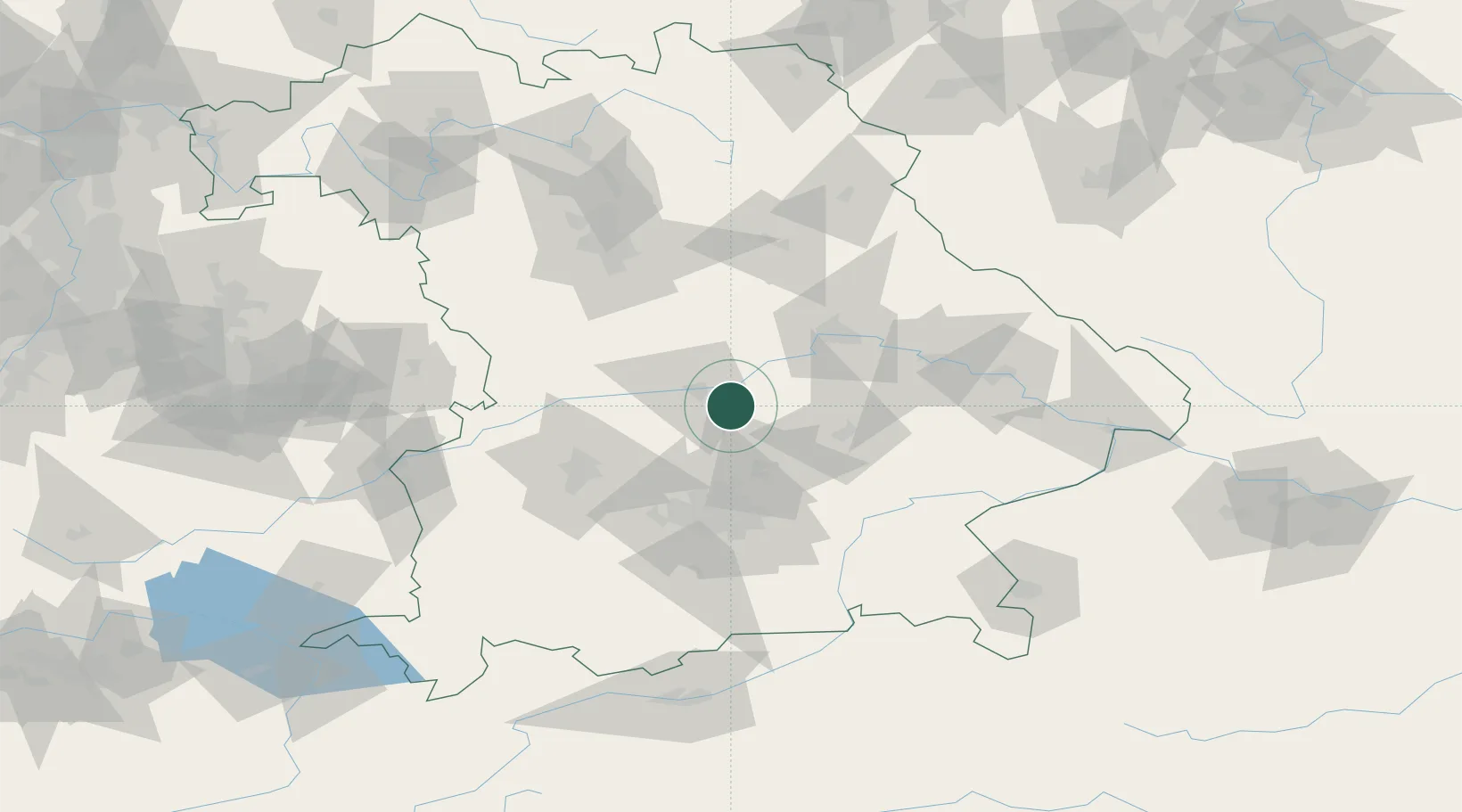
Hub Profile
Place type
Populated place
Region
Bavaria
Population
9,769
Time zone
Europe/Berlin
Elevation
390 m
Location
Nearby Logistics Neighbours
Cities
- 1Ernsgaden5 km
- 2Fahlenbach7 km
- 3Vohburg an der Donau9 km
- 4Manching9 km
- 5Baar-Ebenhausen11 km
Ports
- 1Nogaro346 km
- 2Monfalcone354 km
- 3Grado356 km
- 4Porto Di Lido-Venezia369 km
- 5Trieste374 km
Airports
- 1Ingolstadt Manching Airport7 km
- 2Neuburg Air Base30 km
- 3Landshut Airfield36 km
- 4Munich Airport39 km
- 5Altstetten Ultralight Field49 km
Trade Zones
DatabookThe Record of Consolidated Knowledge
Germany beyond logistics?