Transport Functions
Road
Multimodal
Hub Profile
Place type
Populated place
Region
Bavaria
Time zone
Europe/Berlin
Elevation
401 m
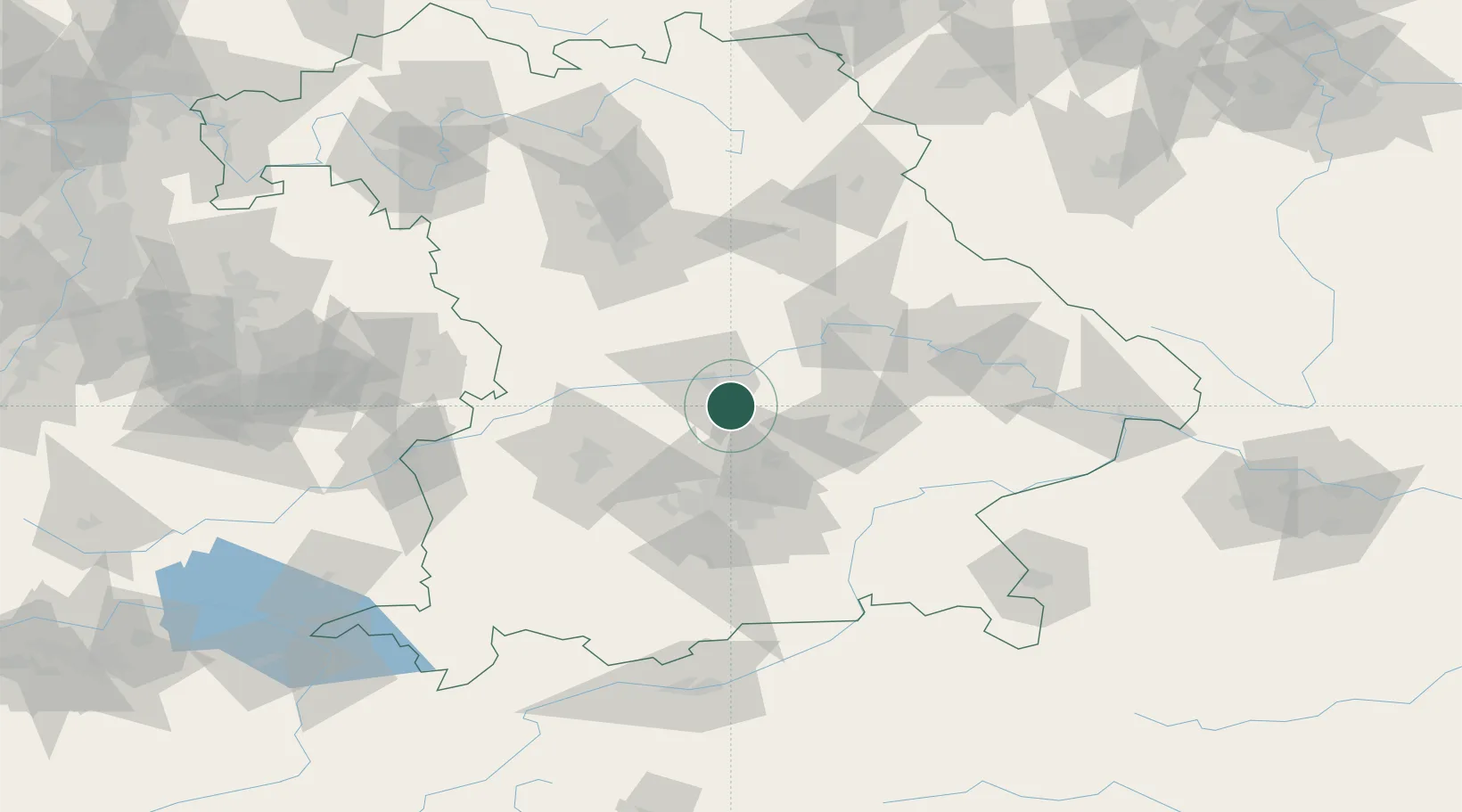
Location
Nearby Logistics Neighbours
Cities
- 1Geisenfeld7 km
- 2Baar-Ebenhausen8 km
- 3Ernsgaden9 km
- 4Geisenhausen10 km
- 5Manching11 km
Ports
- 1Nogaro342 km
- 2Monfalcone351 km
- 3Grado352 km
- 4Porto Di Lido-Venezia364 km
- 5Trieste370 km
Airports
- 1Ingolstadt Manching Airport10 km
- 2Neuburg Air Base28 km
- 3Munich Airport35 km
- 4Landshut Airfield37 km
- 5Altstetten Ultralight Field42 km
Trade Zones
DatabookThe Record of Consolidated Knowledge
Germany beyond logistics?