Transport Functions
Multimodal
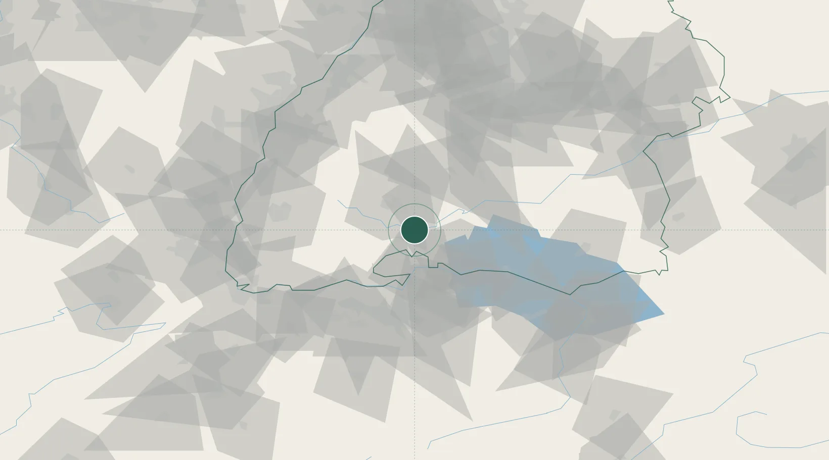
Hub Profile
Place type
Populated place
Region
Baden-Wurttemberg
Population
6,048
Time zone
Europe/Berlin
Elevation
680 m
Location
Nearby Logistics Neighbours
Cities
- 1Hüfingen10 km
- 2Donaueschingen11 km
- 3Engen12 km
- 4Bad Dürrheim13 km
- 5Wurmlingen15 km
Ports
- 1Genova392 km
- 2Savona400 km
- 3Porto Di Lido-Venezia402 km
- 4Chiavari - Lavagna405 km
- 5Rada Di Vado406 km
Airports
Trade Zones
- 1ZFU Neuhof95 km
- 2ZFU Mulhouse99 km
- 3ZFU Hautepierre103 km
- 4ZFU Belfort140 km
- 5ZFU Montbéliard146 km
DatabookThe Record of Consolidated Knowledge
Germany beyond logistics?