Transport Functions
Rail
Road
Hub Profile
Place type
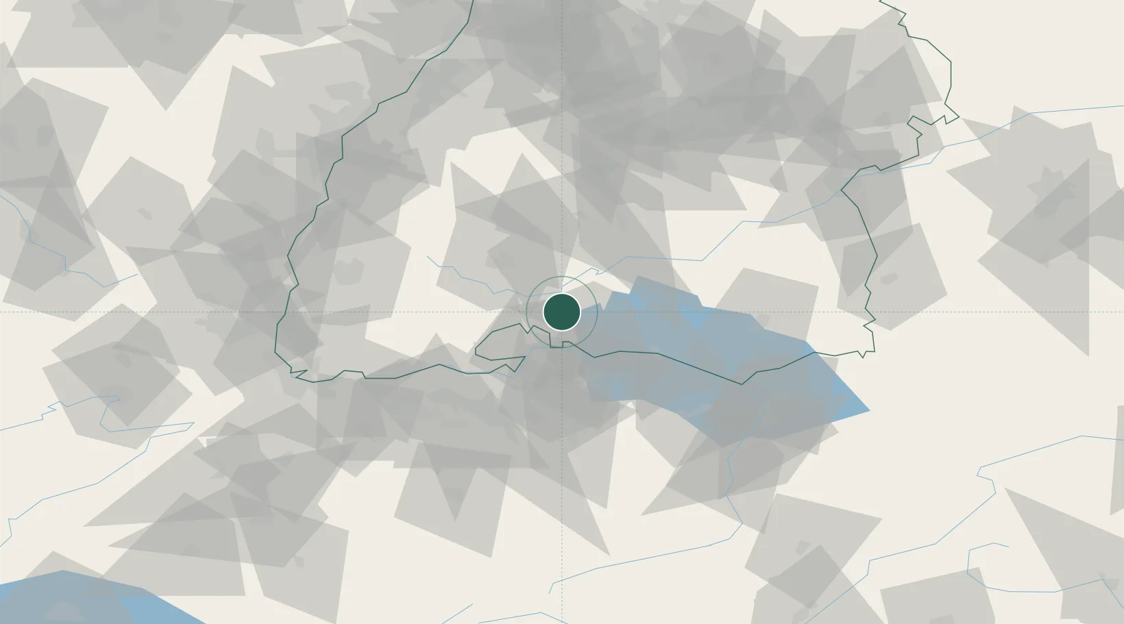
Populated place
Region
Baden-Wurttemberg
Population
10,190
Time zone
Europe/Berlin
Elevation
530 m
Location
Nearby Logistics Neighbours
Cities
- 1Mühlhausen-Ehingen5 km
- 2Hilzingen9 km
- 3Eigeltingen10 km
- 4Geisingen12 km
- 5Malmsheim13 km
Ports
- 1Genova384 km
- 2Porto Di Lido-Venezia389 km
- 3Savona393 km
- 4Chiavari - Lavagna397 km
- 5Porto Di Chioggia397 km
Airports
Trade Zones
- 1ZFU Neuhof107 km
- 2ZFU Mulhouse107 km
- 3ZFU Hautepierre115 km
- 4ZFU Belfort148 km
- 5ZFU Montbéliard153 km
DatabookThe Record of Consolidated Knowledge
Germany beyond logistics?