Transport Functions
Port
Multimodal
Hub Profile
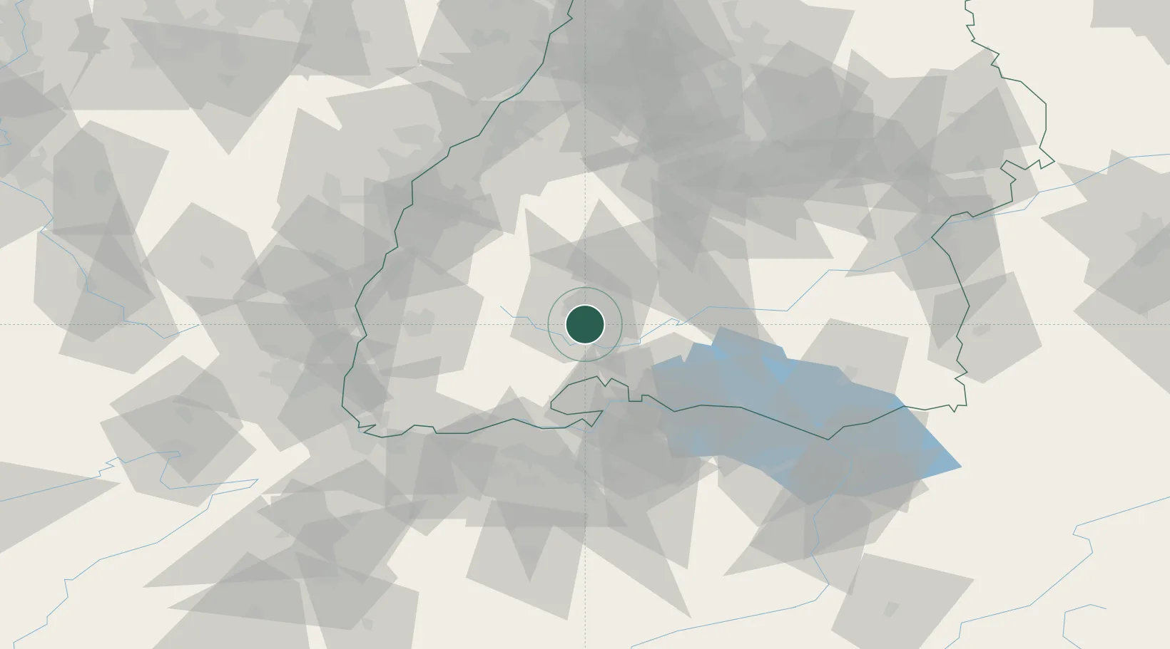
Place type
Populated place
Region
Baden-Wurttemberg
Population
12,829
Time zone
Europe/Berlin
Elevation
700 m
Location
Nearby Logistics Neighbours
Cities
- 1Dauchingen8 km
- 2Donaueschingen8 km
- 3Villingen-Schwenningen8 km
- 4Wolterdingen9 km
- 5Hüfingen11 km
Ports
- 1Genova404 km
- 2Savona411 km
- 3Porto Di Lido-Venezia415 km
- 4Chiavari - Lavagna417 km
- 5Rada Di Vado417 km
Airports
- 1Donaueschingen-Villingen Airfield5 km
- 2Zürich Airport62 km
- 3Mengen-Hohentengen Airfield63 km
- 4Lahr Airport65 km
- 5Dübendorf Air Base69 km
Trade Zones
- 1ZFU Neuhof82 km
- 2ZFU Hautepierre89 km
- 3ZFU Mulhouse94 km
- 4ZFU Belfort135 km
- 5ZFU Montbéliard142 km
DatabookThe Record of Consolidated Knowledge
Germany beyond logistics?