Transport Functions
Rail
Road
Hub Profile
Place type
Populated place
Region
Baden-Wurttemberg
Population
21,604
Time zone
Europe/Berlin
Elevation
701 m
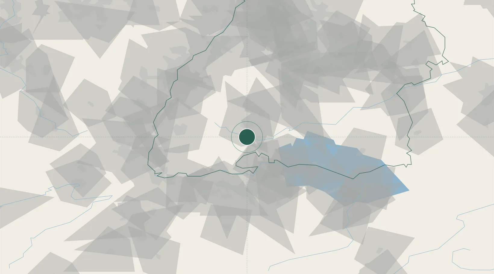
Location
Nearby Logistics Neighbours
Cities
- 1Hüfingen4 km
- 2Wolterdingen5 km
- 3Bräunlingen5 km
- 4Bad Dürrheim8 km
- 5Geisingen11 km
Ports
- 1Genova396 km
- 2Savona404 km
- 3Rada Di Vado410 km
- 4Chiavari - Lavagna410 km
- 5Porto Di Lido-Venezia412 km
Airports
- 1Donaueschingen-Villingen Airfield3 km
- 2Zürich Airport55 km
- 3Dübendorf Air Base62 km
- 4Mengen-Hohentengen Airfield66 km
- 5Lahr Airport68 km
Trade Zones
- 1ZFU Neuhof85 km
- 2ZFU Mulhouse90 km
- 3ZFU Hautepierre93 km
- 4ZFU Belfort131 km
- 5ZFU Montbéliard137 km
DatabookThe Record of Consolidated Knowledge
Germany beyond logistics?