Transport Functions
Multimodal
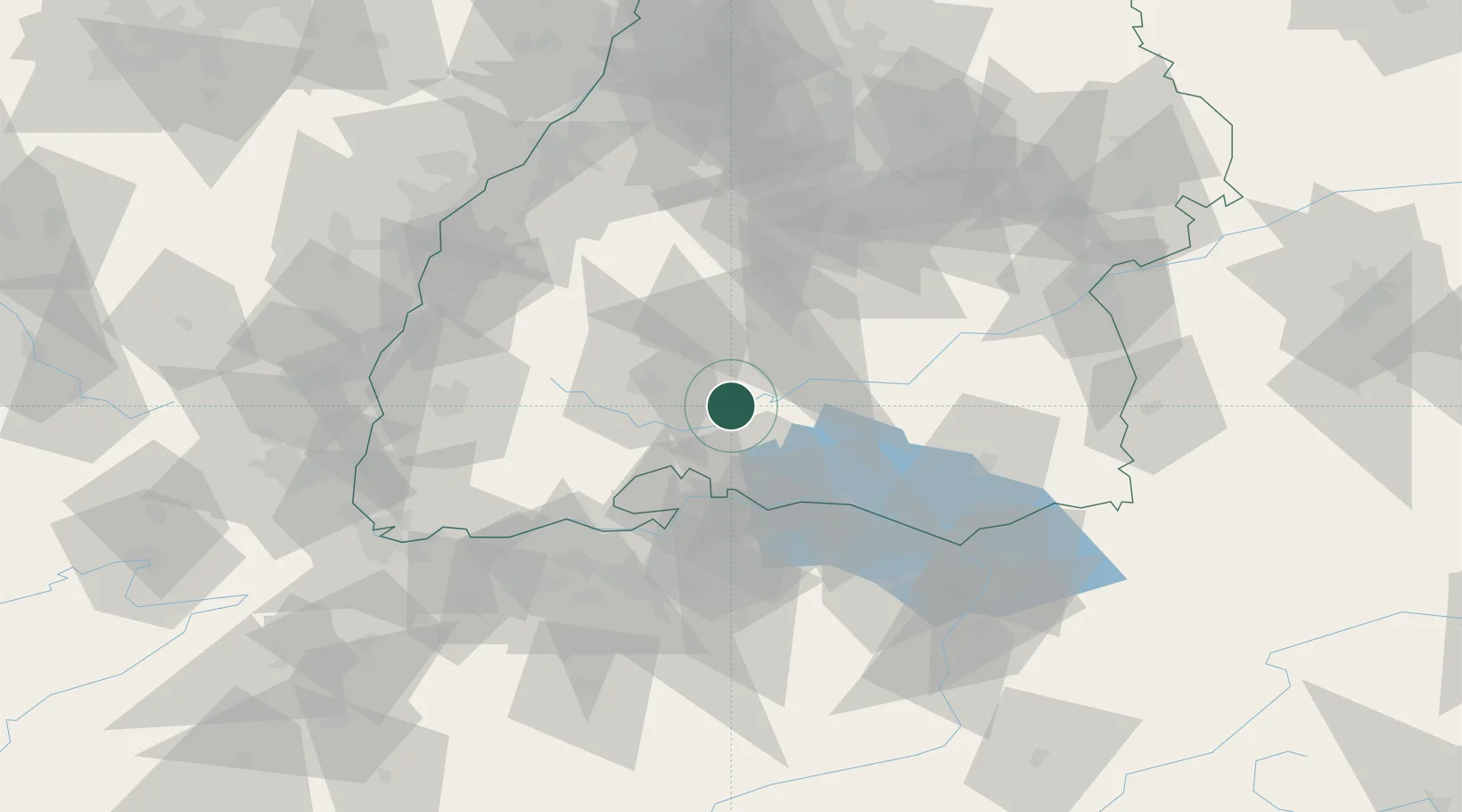
Hub Profile
Place type
Local administrative seat
Region
Baden-Wurttemberg
Population
3,812
Time zone
Europe/Berlin
Elevation
677 m
Location
Nearby Logistics Neighbours
Cities
- 1Königsheim13 km
- 2Bubsheim13 km
- 3Geisingen15 km
- 4Nusplingen16 km
- 5Wehingen17 km
Ports
- 1Porto Di Lido-Venezia400 km
- 2Genova401 km
- 3Porto Di Chioggia408 km
- 4Savona410 km
- 5Chiavari - Lavagna413 km
Airports
Trade Zones
- 1ZFU Neuhof97 km
- 2ZFU Hautepierre104 km
- 3ZFU Mulhouse111 km
- 4ZFU Belfort153 km
- 5ZFU Montbéliard159 km
DatabookThe Record of Consolidated Knowledge
Germany beyond logistics?