Transport Functions
Rail
Road
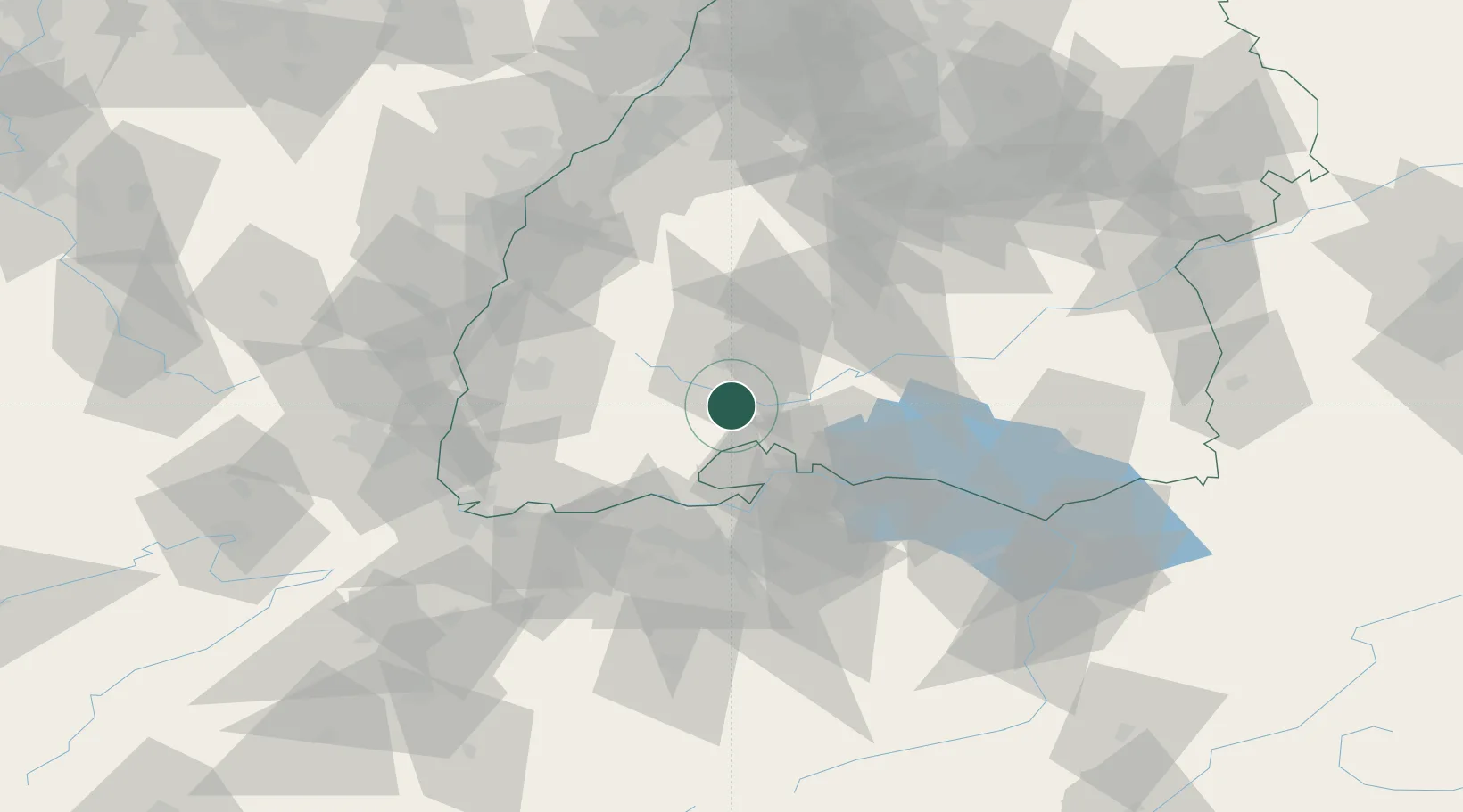
Hub Profile
Place type
Populated place
Region
Baden-Wurttemberg
Population
7,747
Time zone
Europe/Berlin
Elevation
687 m
Location
Nearby Logistics Neighbours
Cities
- 1Donaueschingen4 km
- 2Bräunlingen5 km
- 3Wolterdingen8 km
- 4Geisingen10 km
- 5Bad Dürrheim11 km
Ports
- 1Genova393 km
- 2Savona400 km
- 3Rada Di Vado406 km
- 4Chiavari - Lavagna407 km
- 5Porto Di Lido-Venezia409 km
Airports
- 1Donaueschingen-Villingen Airfield7 km
- 2Zürich Airport51 km
- 3Dübendorf Air Base59 km
- 4Mengen-Hohentengen Airfield67 km
- 5Lahr Airport71 km
Trade Zones
- 1ZFU Neuhof88 km
- 2ZFU Mulhouse89 km
- 3ZFU Hautepierre96 km
- 4ZFU Belfort130 km
- 5ZFU Montbéliard136 km
DatabookThe Record of Consolidated Knowledge
Germany beyond logistics?