Transport Functions
Multimodal
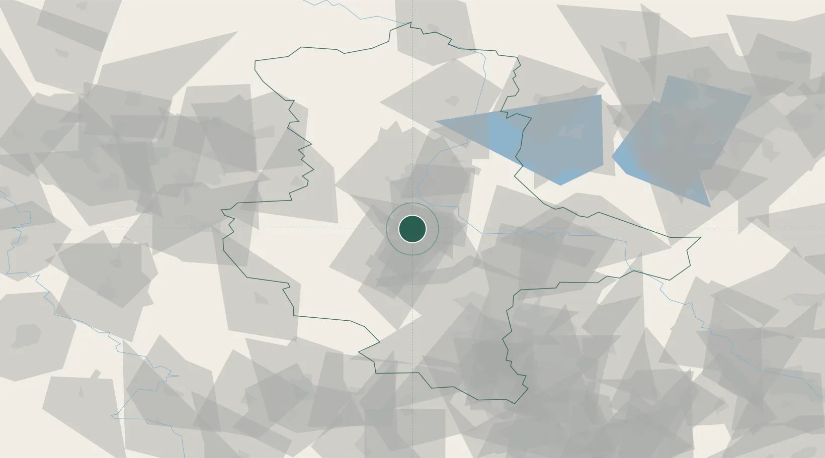
Hub Profile
Place type
Populated place
Region
Saxony-Anhalt
Population
2,045
Time zone
Europe/Berlin
Elevation
77 m
Location
Nearby Logistics Neighbours
Cities
- 1Eickendorf6 km
- 2Biere8 km
- 3Calbe9 km
- 4Nienburg11 km
- 5Wolmirsleben12 km
Ports
- 1Hamburg216 km
- 2Wismar223 km
- 3Lubeck229 km
- 4Lubeck-Travemunde235 km
- 5Bremen238 km
Airports
- 1Zerbst Airfield37 km
- 2Leipzig/Halle Airport68 km
- 3Braunschweig-Wolfsburg Airport87 km
- 4Holzdorf Air Base106 km
- 5Erfurt-Weimar Airport113 km
Trade Zones
DatabookThe Record of Consolidated Knowledge
Germany beyond logistics?