Transport Functions
Road
Multimodal
Hub Profile
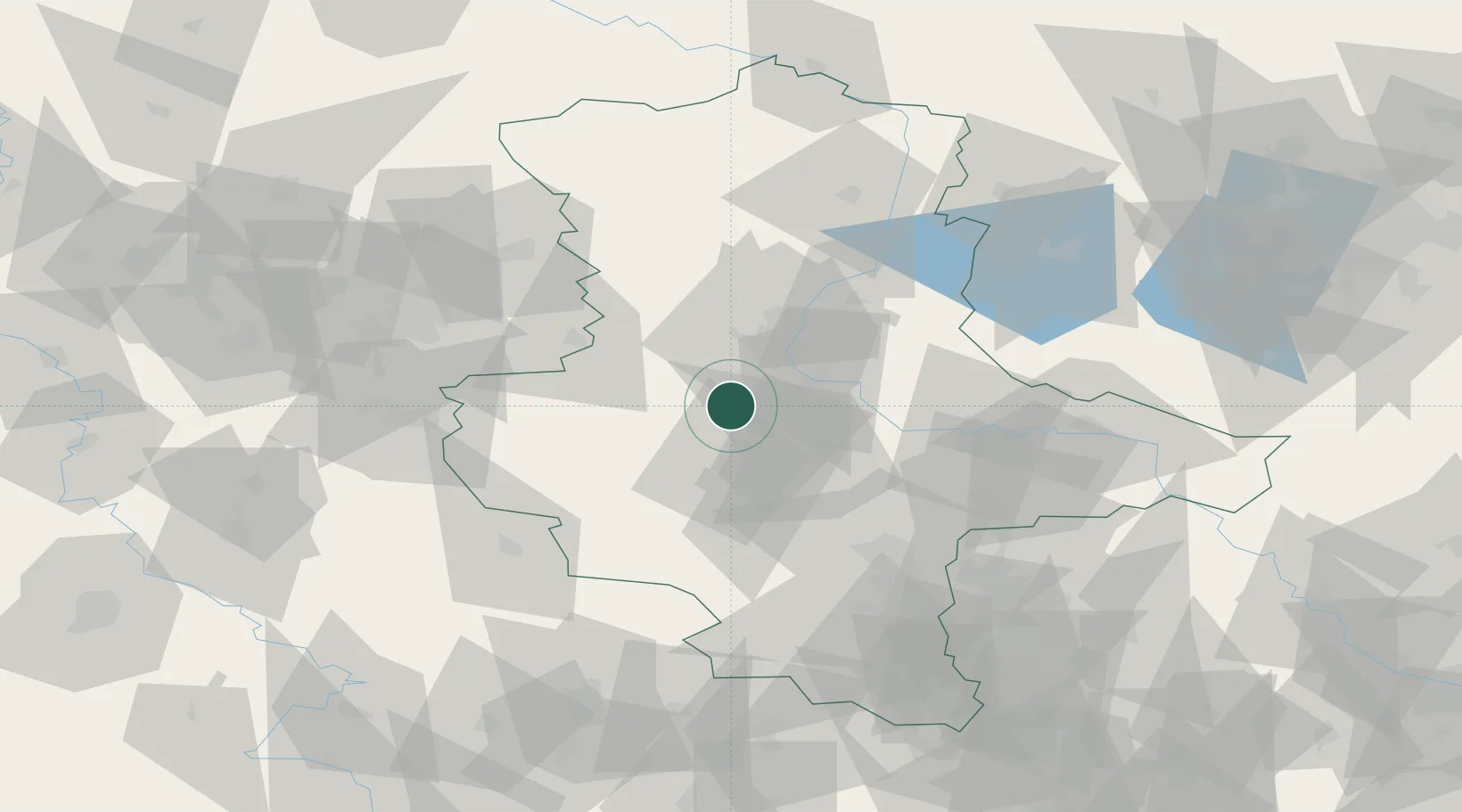
Place type
Local administrative seat
Region
Saxony-Anhalt
Population
1,544
Time zone
Europe/Berlin
Elevation
79 m
Location
Nearby Logistics Neighbours
Cities
- 1Cochstedt9 km
- 2Langenweddingen10 km
- 3Osterweddingen11 km
- 4Biere12 km
- 5Foerderstedt12 km
Ports
- 1Hamburg206 km
- 2Wismar217 km
- 3Lubeck221 km
- 4Bremen226 km
- 5Lubeck-Travemunde228 km
Airports
- 1Zerbst Airfield46 km
- 2Braunschweig-Wolfsburg Airport75 km
- 3Leipzig/Halle Airport78 km
- 4Erfurt-Weimar Airport114 km
- 5Holzdorf Air Base117 km
Trade Zones
DatabookThe Record of Consolidated Knowledge
Germany beyond logistics?