Transport Functions
Rail
Road
Multimodal
Hub Profile
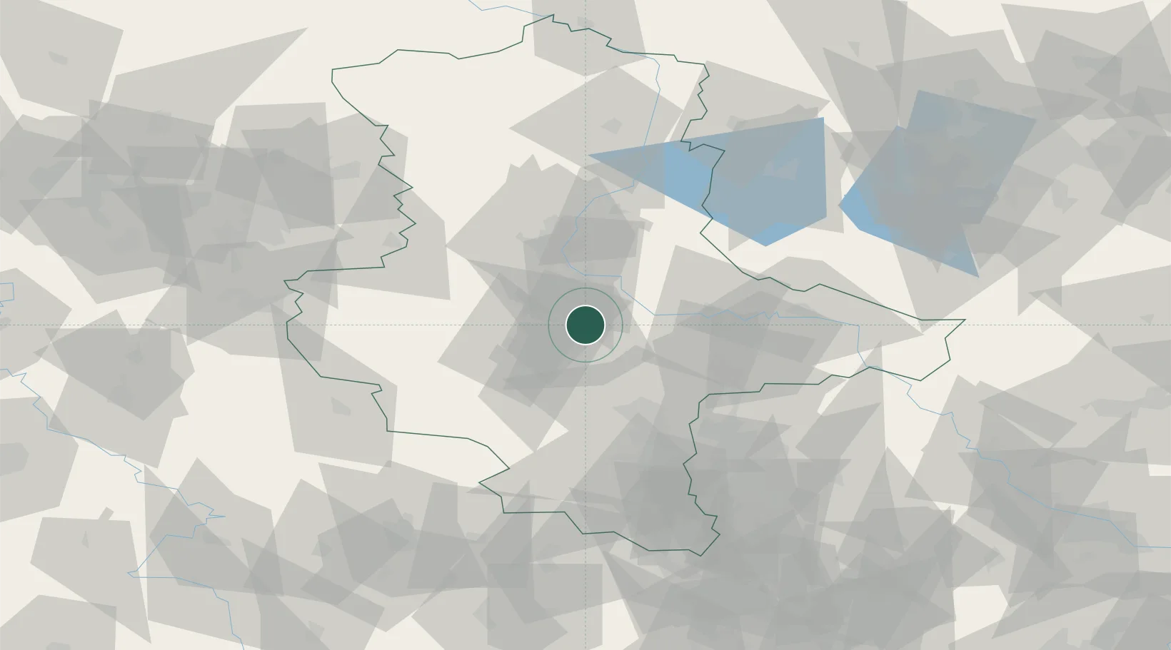
Place type
District seat
Region
Lower Saxony
Population
32,629
Time zone
Europe/Berlin
Elevation
28 m
Location
Nearby Logistics Neighbours
Cities
- 1Bernburg4 km
- 2Calbe8 km
- 3Foerderstedt11 km
- 4Eickendorf14 km
- 5Gnadau15 km
Ports
- 1Hamburg227 km
- 2Wismar231 km
- 3Lubeck239 km
- 4Lubeck-Travemunde244 km
- 5Bremen248 km
Airports
- 1Zerbst Airfield33 km
- 2Leipzig/Halle Airport57 km
- 3Holzdorf Air Base98 km
- 4Braunschweig-Wolfsburg Airport98 km
- 5Leipzig–Altenburg Airport108 km
Trade Zones
DatabookThe Record of Consolidated Knowledge
Germany beyond logistics?