Transport Functions
Road
Multimodal
Hub Profile
Place type
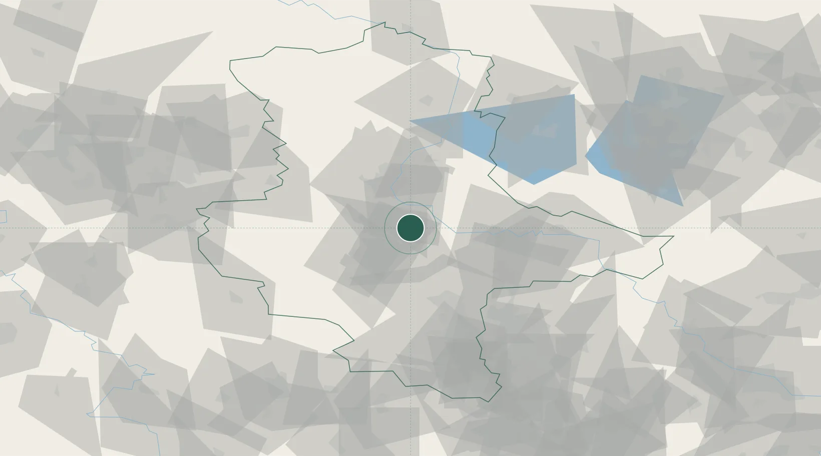
Populated place
Region
Saxony-Anhalt
Population
11,322
Time zone
Europe/Berlin
Elevation
58 m
Location
Nearby Logistics Neighbours
Cities
- 1Gnadau7 km
- 2Nienburg8 km
- 3Eickendorf9 km
- 4Foerderstedt9 km
- 5Biere11 km
Ports
- 1Hamburg221 km
- 2Wismar223 km
- 3Lubeck232 km
- 4Lubeck-Travemunde237 km
- 5Bremen245 km
Airports
- 1Zerbst Airfield29 km
- 2Leipzig/Halle Airport62 km
- 3Braunschweig-Wolfsburg Airport95 km
- 4Holzdorf Air Base97 km
- 5Leipzig–Altenburg Airport114 km
Trade Zones
DatabookThe Record of Consolidated Knowledge
Germany beyond logistics?