Transport Functions
Road
Multimodal
Hub Profile
Place type
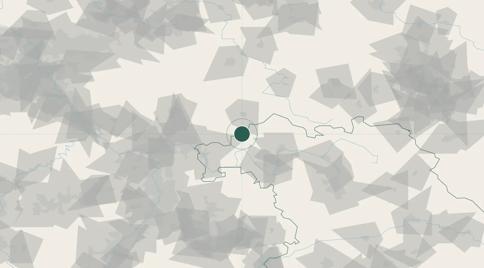
Populated place
Region
Bavaria
Population
2,228
Time zone
Europe/Berlin
Elevation
248 m
Location
Nearby Logistics Neighbours
Cities
- 1Sinntal4 km
- 2Schlüchtern13 km
- 3Schondra13 km
- 4Kalbach15 km
- 5Mittelkalbach17 km
Airports
- 1Frankfurt-Egelsbach Airport81 km
- 2Frankfurt Main Airport83 km
- 3Bamberg-Breitenau Airfield97 km
- 4Fritzlar Army Airfield98 km
- 5Wiesbaden Army Airfield99 km
Trade Zones
- 1ZFU La Cité Behren-lès-Forbach232 km
- 2ZFU Hautepierre234 km
- 3ZFU Neuhof236 km
- 4Rheinische Revier SWZ243 km
- 5Freeport of Duisburg253 km
DatabookThe Record of Consolidated Knowledge
Germany beyond logistics?