Transport Functions
Multimodal
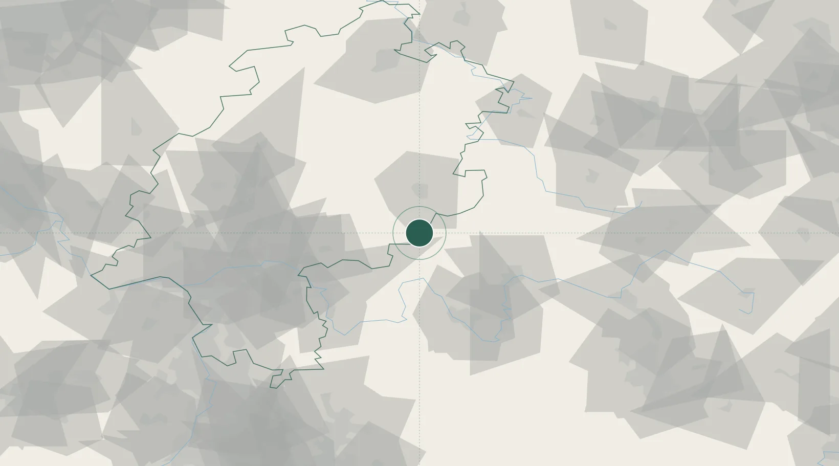
Hub Profile
Region
HE
Location
Nearby Logistics Neighbours
Cities
- 1Zeitlofs4 km
- 2Kalbach11 km
- 3Schlüchtern12 km
- 4Schondra13 km
- 5Mittelkalbach13 km
Airports
- 1Frankfurt-Egelsbach Airport83 km
- 2Frankfurt Main Airport86 km
- 3Fritzlar Army Airfield95 km
- 4Eisenach-Kindel Airport95 km
- 5Bamberg-Breitenau Airfield97 km
Trade Zones
- 1ZFU La Cité Behren-lès-Forbach235 km
- 2ZFU Hautepierre238 km
- 3ZFU Neuhof240 km
- 4Rheinische Revier SWZ243 km
- 5Freeport of Duisburg252 km
DatabookThe Record of Consolidated Knowledge
Germany beyond logistics?