Transport Functions
Rail
Road
Multimodal
Hub Profile
Place type
Populated place
Region
Baden-Wurttemberg
Time zone
Europe/Berlin
Elevation
183 m
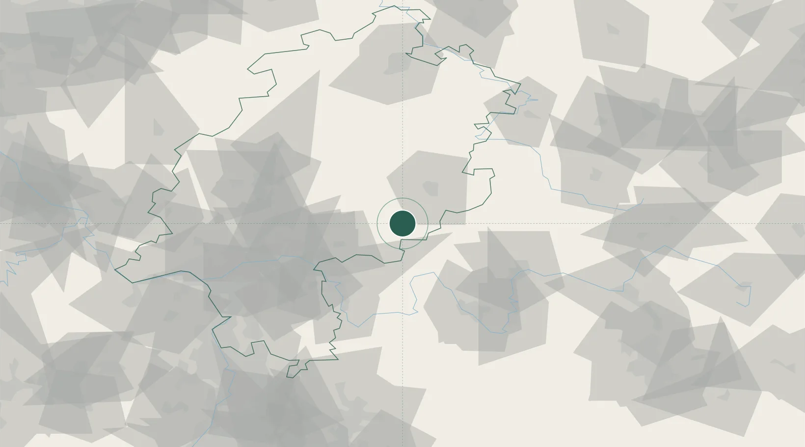
Location
Nearby Logistics Neighbours
Cities
- 1Flieden10 km
- 2Sinntal12 km
- 3Zeitlofs13 km
- 4Neuhof13 km
- 5Mittelkalbach13 km
Airports
- 1Frankfurt-Egelsbach Airport75 km
- 2Frankfurt Main Airport76 km
- 3Fritzlar Army Airfield88 km
- 4Wiesbaden Army Airfield91 km
- 5Eisenach-Kindel Airport100 km
Trade Zones
- 1ZFU La Cité Behren-lès-Forbach227 km
- 2Rheinische Revier SWZ230 km
- 3ZFU Hautepierre234 km
- 4ZFU Neuhof236 km
- 5Freeport of Duisburg240 km
DatabookThe Record of Consolidated Knowledge
Germany beyond logistics?