Transport Functions
Multimodal
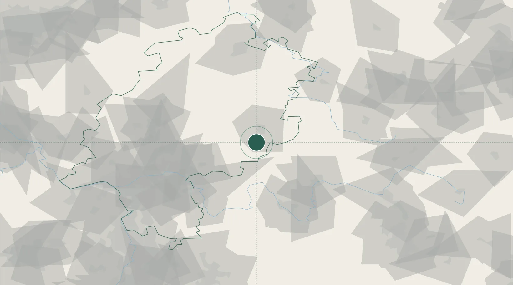
Hub Profile
Place type
Populated place
Region
Hesse
Time zone
Europe/Berlin
Elevation
316 m
Location
Nearby Logistics Neighbours
Airports
- 1Fritzlar Army Airfield82 km
- 2Eisenach-Kindel Airport87 km
- 3Frankfurt-Egelsbach Airport88 km
- 4Frankfurt Main Airport89 km
- 5Wiesbaden Army Airfield103 km
Trade Zones
- 1Rheinische Revier SWZ237 km
- 2ZFU La Cité Behren-lès-Forbach240 km
- 3Freeport of Duisburg243 km
- 4ZFU Hautepierre247 km
- 5ZFU Neuhof249 km
DatabookThe Record of Consolidated Knowledge
Germany beyond logistics?