Transport Functions
Multimodal
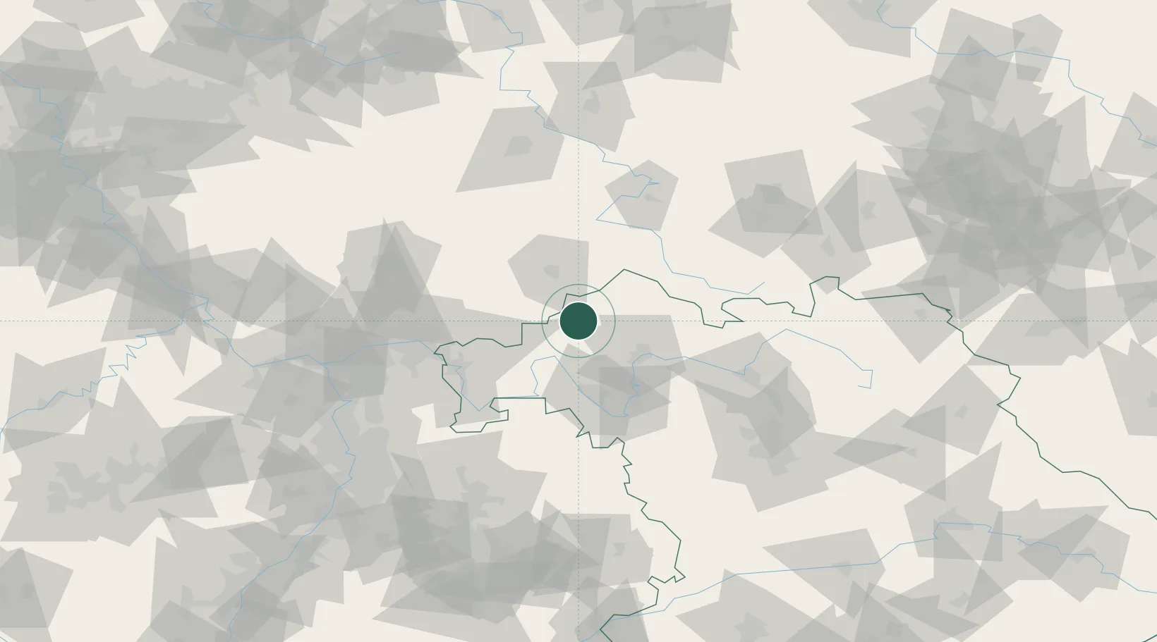
Hub Profile
Place type
Populated place
Region
Bavaria
Population
1,855
Time zone
Europe/Berlin
Elevation
419 m
Location
Nearby Logistics Neighbours
Cities
- 1Burkardroth11 km
- 2Sinntal13 km
- 3Zeitlofs13 km
- 4Euerdorf16 km
- 5Kalbach20 km
Airports
Trade Zones
- 1ZFU Hautepierre241 km
- 2ZFU La Cité Behren-lès-Forbach242 km
- 3ZFU Neuhof243 km
- 4Podbořany Industrial Zone253 km
- 5Rheinische Revier SWZ256 km
DatabookThe Record of Consolidated Knowledge
Germany beyond logistics?