Transport Functions
Rail
Road
Hub Profile
Region
ST
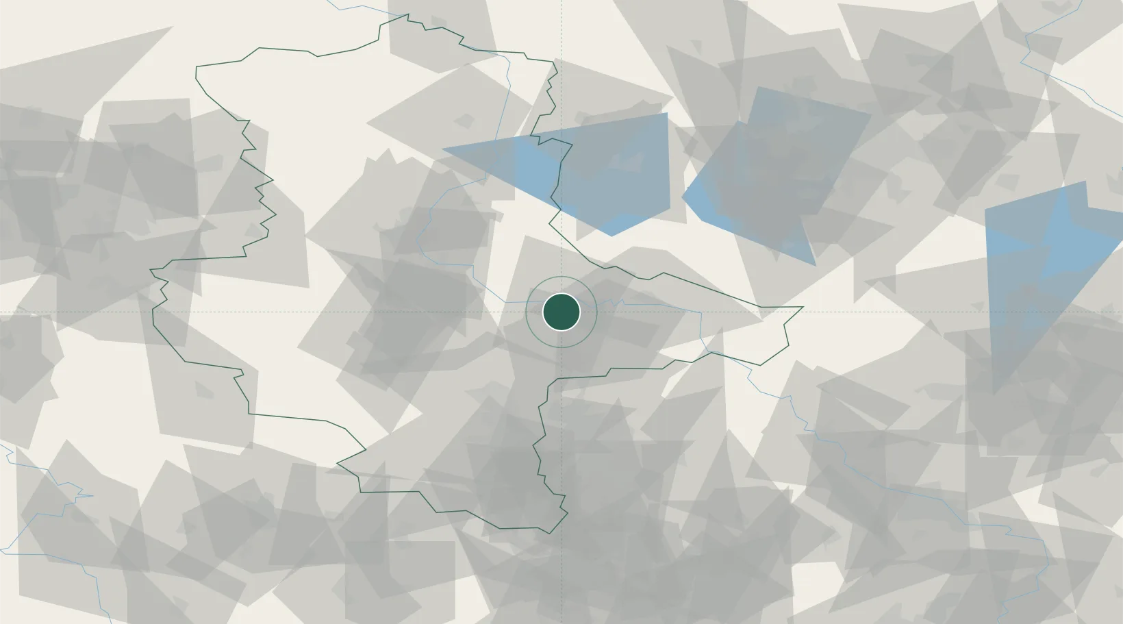
Location
Nearby Logistics Neighbours
Cities
- 1Rodleben8 km
- 2Oranienbaum11 km
- 3Quellendorf12 km
- 4Elsnigk14 km
- 5Coswig15 km
Airports
- 1Zerbst Airfield20 km
- 2Leipzig/Halle Airport46 km
- 3Holzdorf Air Base64 km
- 4Leipzig–Altenburg Airport96 km
- 5Berlin Brandenburg Airport104 km
Trade Zones
- 1Most - Joseph Industrial Zone179 km
- 2Žatec - Triangle Strategic Industrial Zone183 km
- 3Kostrzyń-Słubice SEZ184 km
- 4Podbořany Industrial Zone196 km
- 5Szczecin Duty Free Zone236 km
DatabookThe Record of Consolidated Knowledge
Germany beyond logistics?