Transport Functions
Road
Multimodal
Hub Profile
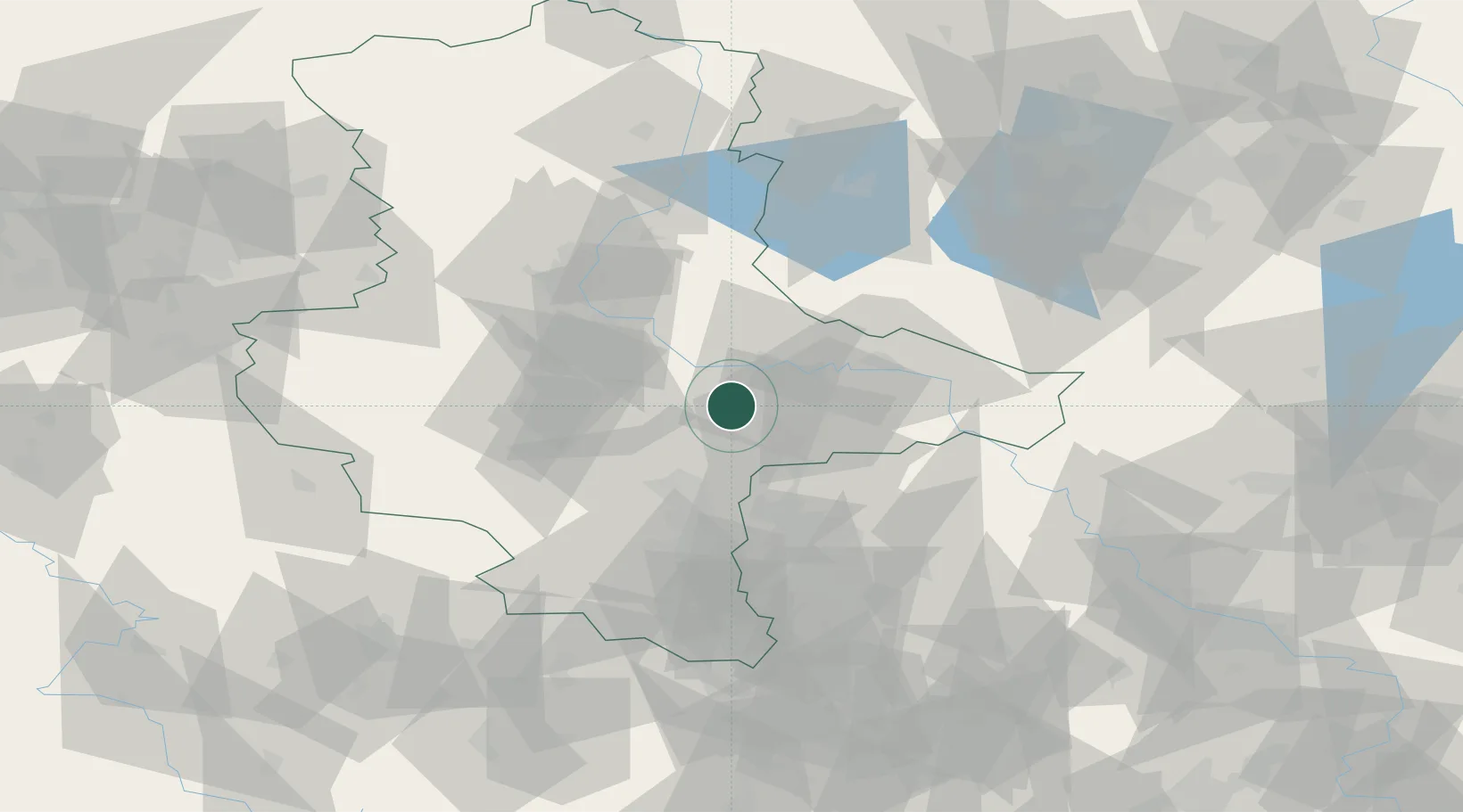
Place type
Populated place
Region
Saxony-Anhalt
Population
1,033
Time zone
Europe/Berlin
Elevation
80 m
Location
Nearby Logistics Neighbours
Cities
- 1Elsnigk8 km
- 2Dessau-Rosslau12 km
- 3Zörbig13 km
- 4Görzig15 km
- 5Grosszöberitz15 km
Airports
- 1Zerbst Airfield28 km
- 2Leipzig/Halle Airport37 km
- 3Holzdorf Air Base71 km
- 4Leipzig–Altenburg Airport89 km
- 5Berlin Brandenburg Airport116 km
Trade Zones
- 1Most - Joseph Industrial Zone176 km
- 2Žatec - Triangle Strategic Industrial Zone179 km
- 3Podbořany Industrial Zone191 km
- 4Kostrzyń-Słubice SEZ195 km
- 5Szczecin Duty Free Zone248 km
DatabookThe Record of Consolidated Knowledge
Germany beyond logistics?