Transport Functions
Rail
Road
Hub Profile
Place type
Populated place
Region
Saxony-Anhalt
Population
762
Time zone
Europe/Berlin
Elevation
72 m
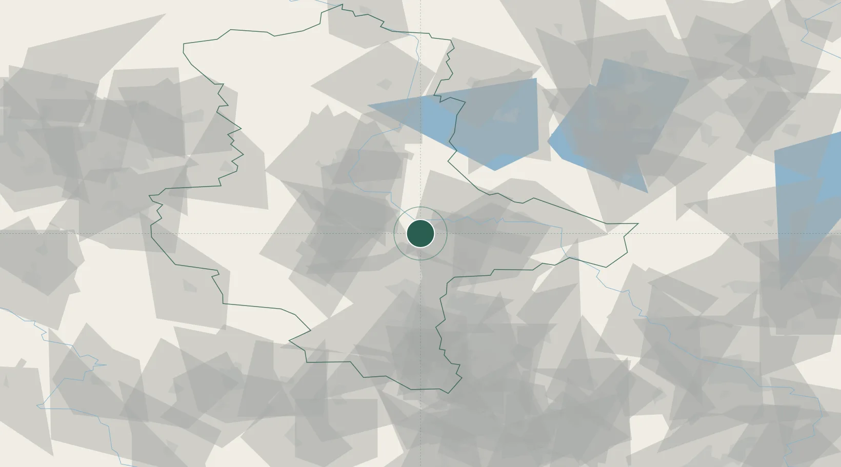
Location
Nearby Logistics Neighbours
Cities
- 1Quellendorf8 km
- 2Dessau-Rosslau14 km
- 3Rodleben15 km
- 4Görzig17 km
- 5Zörbig19 km
Ports
- 1Wismar237 km
- 2Hamburg241 km
- 3Szczecin247 km
- 4Lubeck249 km
- 5Lubeck-Travemunde253 km
Airports
- 1Zerbst Airfield23 km
- 2Leipzig/Halle Airport44 km
- 3Holzdorf Air Base77 km
- 4Leipzig–Altenburg Airport96 km
- 5Berlin Brandenburg Airport117 km
Trade Zones
- 1Most - Joseph Industrial Zone184 km
- 2Žatec - Triangle Strategic Industrial Zone187 km
- 3Kostrzyń-Słubice SEZ197 km
- 4Podbořany Industrial Zone199 km
- 5Szczecin Duty Free Zone248 km
DatabookThe Record of Consolidated Knowledge
Germany beyond logistics?