Transport Functions
Multimodal
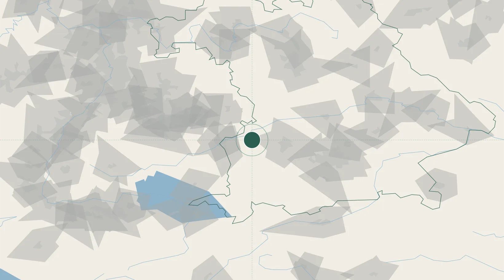
Hub Profile
Place type
Local administrative seat
Region
Bavaria
Population
1,179
Time zone
Europe/Berlin
Elevation
465 m
Location
Nearby Logistics Neighbours
Cities
- 1Burgau3 km
- 2Jettingen-Scheppach6 km
- 3Jettingen6 km
- 4Burtenbach9 km
- 5Ichenhausen11 km
Ports
- 1Nogaro362 km
- 2Porto Di Lido-Venezia368 km
- 3Grado374 km
- 4Monfalcone377 km
- 5Porto Di Chioggia383 km
Airports
- 1Augsburg Airport37 km
- 2Lechfeld Air Base42 km
- 3Laupheim Air Base45 km
- 4Memmingen Allgau Airport52 km
- 5Altstetten Ultralight Field65 km
Trade Zones
- 1Freeport of Deggendorf187 km
- 2ZFU Neuhof197 km
- 3ZFU Hautepierre203 km
- 4Livigno Free Trade Zone213 km
- 5ZFU Mulhouse242 km
DatabookThe Record of Consolidated Knowledge
Germany beyond logistics?