Transport Functions
Rail
Road
Hub Profile
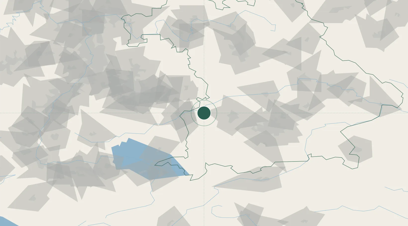
Place type
Populated place
Region
Bavaria
Population
9,576
Time zone
Europe/Berlin
Elevation
454 m
Location
Nearby Logistics Neighbours
Cities
- 1Röfingen3 km
- 2Jettingen6 km
- 3Jettingen-Scheppach6 km
- 4Ichenhausen10 km
- 5Burtenbach10 km
Ports
- 1Nogaro364 km
- 2Porto Di Lido-Venezia369 km
- 3Grado375 km
- 4Monfalcone379 km
- 5Porto Di Chioggia384 km
Airports
- 1Augsburg Airport39 km
- 2Laupheim Air Base43 km
- 3Lechfeld Air Base44 km
- 4Memmingen Allgau Airport51 km
- 5Altstetten Ultralight Field67 km
Trade Zones
- 1Freeport of Deggendorf190 km
- 2ZFU Neuhof195 km
- 3ZFU Hautepierre200 km
- 4Livigno Free Trade Zone213 km
- 5ZFU Mulhouse240 km
DatabookThe Record of Consolidated Knowledge
Germany beyond logistics?