Transport Functions
Port
Rail
Road
Hub Profile
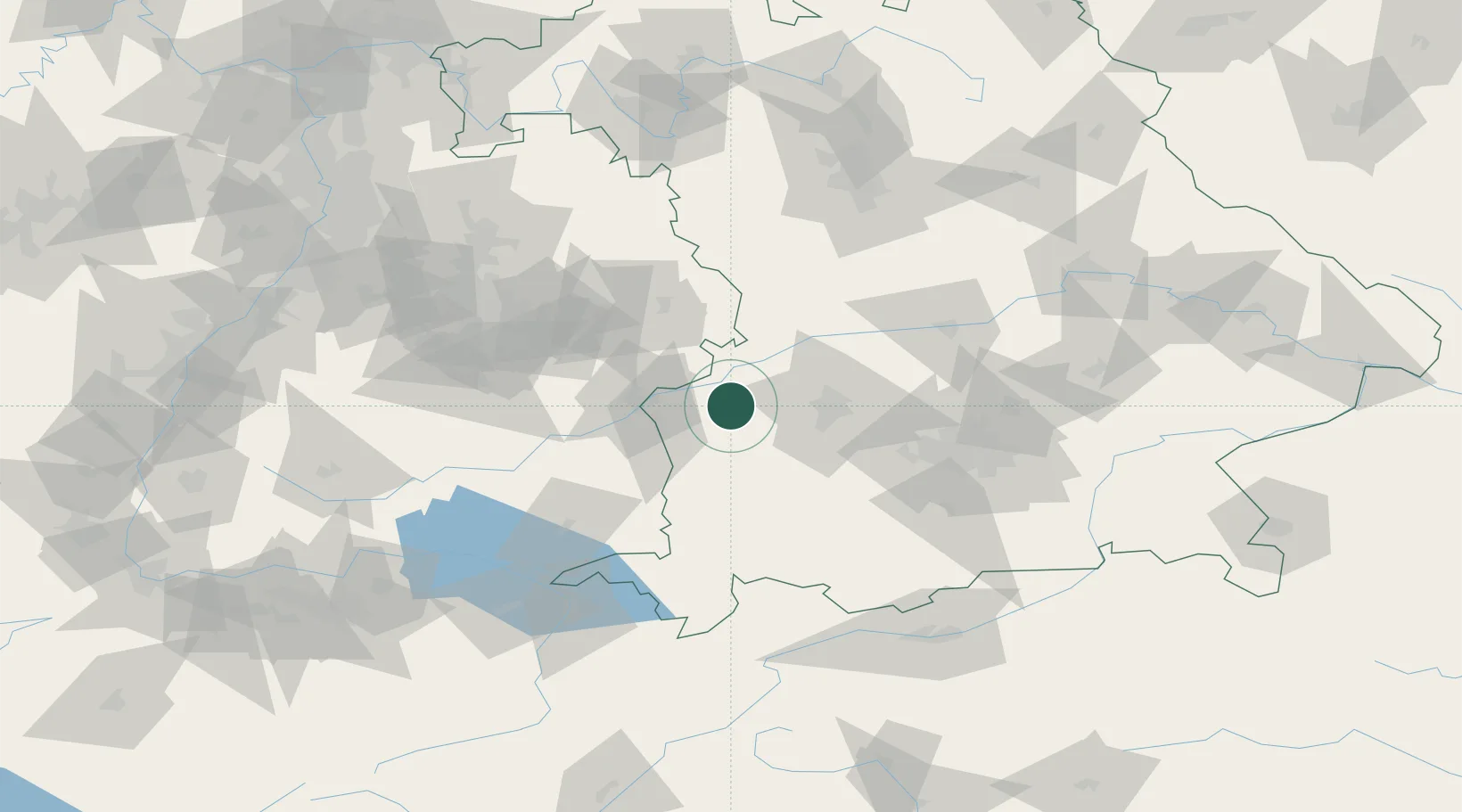
Place type
Urban district
Region
Bavaria
Time zone
Europe/Berlin
Elevation
465 m
Location
Nearby Logistics Neighbours
Cities
- 1Jettingen-Scheppach1 km
- 2Burtenbach4 km
- 3Röfingen6 km
- 4Burgau6 km
- 5Ichenhausen8 km
Ports
- 1Nogaro359 km
- 2Porto Di Lido-Venezia364 km
- 3Grado370 km
- 4Monfalcone374 km
- 5Porto Di Chioggia378 km
Airports
- 1Augsburg Airport38 km
- 2Lechfeld Air Base40 km
- 3Laupheim Air Base42 km
- 4Memmingen Allgau Airport46 km
- 5Altstetten Ultralight Field65 km
Trade Zones
- 1Freeport of Deggendorf190 km
- 2ZFU Neuhof196 km
- 3ZFU Hautepierre202 km
- 4Livigno Free Trade Zone207 km
- 5ZFU Mulhouse240 km
DatabookThe Record of Consolidated Knowledge
Germany beyond logistics?