Transport Functions
Rail
Road
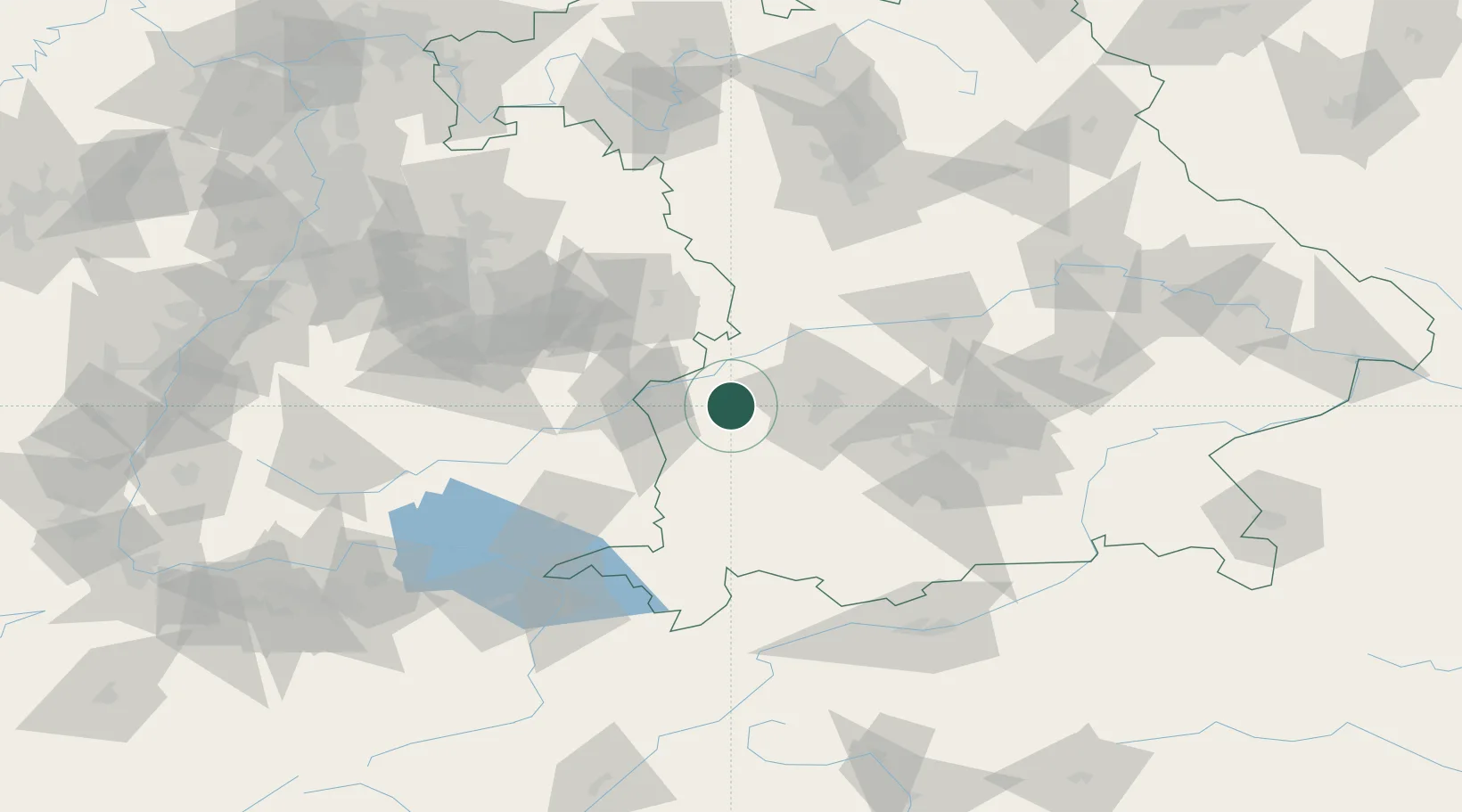
Hub Profile
Place type
Populated place
Region
Bavaria
Population
3,323
Time zone
Europe/Berlin
Elevation
512 m
Location
Nearby Logistics Neighbours
Cities
- 1Jettingen-Scheppach4 km
- 2Jettingen4 km
- 3Thannhausen8 km
- 4Ziemetshausen8 km
- 5Röfingen9 km
Ports
- 1Nogaro354 km
- 2Porto Di Lido-Venezia359 km
- 3Grado366 km
- 4Monfalcone370 km
- 5Porto Di Chioggia374 km
Airports
- 1Lechfeld Air Base36 km
- 2Augsburg Airport37 km
- 3Laupheim Air Base43 km
- 4Memmingen Allgau Airport43 km
- 5Altstetten Ultralight Field62 km
Trade Zones
- 1Freeport of Deggendorf189 km
- 2ZFU Neuhof199 km
- 3Livigno Free Trade Zone204 km
- 4ZFU Hautepierre205 km
- 5ZFU Mulhouse241 km
DatabookThe Record of Consolidated Knowledge
Germany beyond logistics?