UN/LOCODE hub · Germany
DEJSH
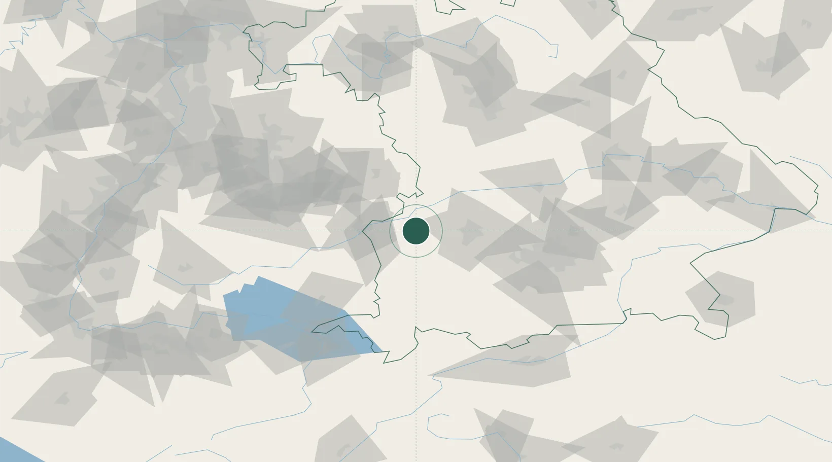
Jettingen-Scheppach
48.3833°, 10.4333°
6,865
Population
1
Transport functions
Transport Functions
Multimodal
Hub Profile
Place type
Populated place
Region
Bavaria
Population
6,865
Time zone
Europe/Berlin
Elevation
472 m
Location
Nearby Logistics Neighbours
Cities
- 1Jettingen1 km
- 2Burtenbach4 km
- 3Röfingen6 km
- 4Burgau6 km
- 5Ichenhausen9 km
Ports
- 1Nogaro358 km
- 2Porto Di Lido-Venezia363 km
- 3Grado369 km
- 4Monfalcone373 km
- 5Porto Di Chioggia378 km
Airports
- 1Augsburg Airport37 km
- 2Lechfeld Air Base39 km
- 3Laupheim Air Base43 km
- 4Memmingen Allgau Airport46 km
- 5Altstetten Ultralight Field64 km
Trade Zones
- 1Freeport of Deggendorf189 km
- 2ZFU Neuhof198 km
- 3ZFU Hautepierre203 km
- 4Livigno Free Trade Zone207 km
- 5ZFU Mulhouse241 km
DatabookThe Record of Consolidated Knowledge
Germany beyond logistics?