Transport Functions
Multimodal
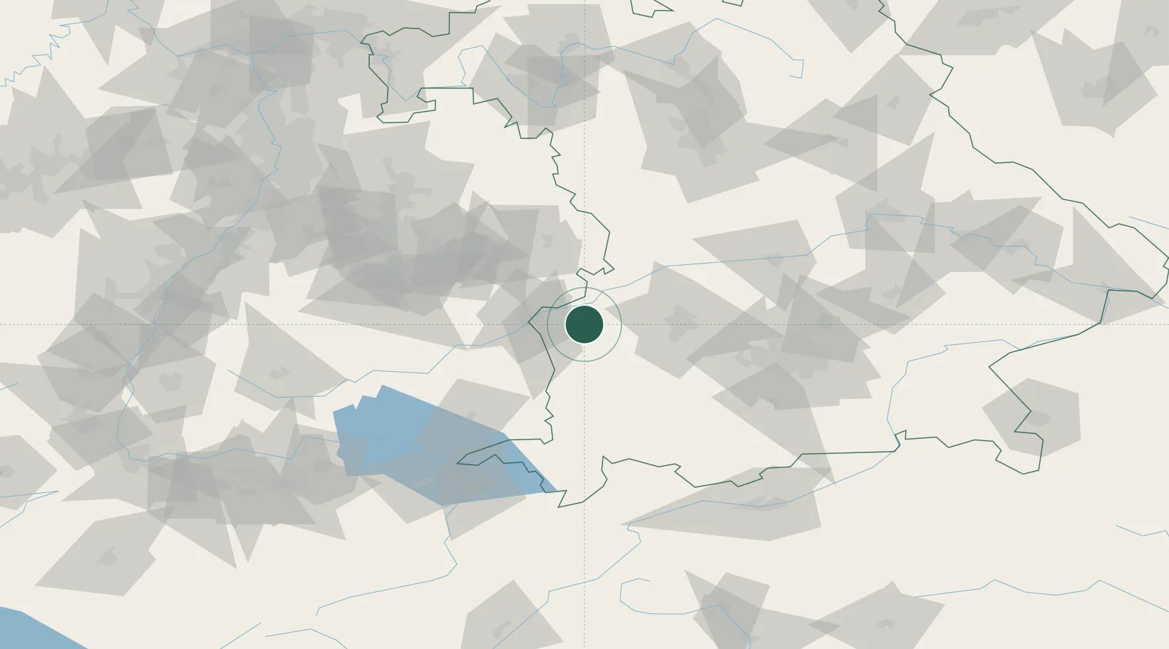
Hub Profile
Place type
Populated place
Region
Bavaria
Population
8,499
Time zone
Europe/Berlin
Elevation
492 m
Location
Nearby Logistics Neighbours
Cities
- 1Jettingen8 km
- 2Jettingen-Scheppach9 km
- 3Bubesheim9 km
- 4Biberachzell9 km
- 5Burgau10 km
Ports
- 1Nogaro362 km
- 2Porto Di Lido-Venezia365 km
- 3Grado373 km
- 4Monfalcone377 km
- 5Porto Di Chioggia380 km
Airports
- 1Laupheim Air Base34 km
- 2Memmingen Allgau Airport43 km
- 3Lechfeld Air Base45 km
- 4Augsburg Airport46 km
- 5Altstetten Ultralight Field72 km
Trade Zones
- 1ZFU Neuhof189 km
- 2ZFU Hautepierre195 km
- 3Freeport of Deggendorf198 km
- 4Livigno Free Trade Zone205 km
- 5ZFU Mulhouse232 km
DatabookThe Record of Consolidated Knowledge
Germany beyond logistics?