UN/LOCODE hub · Germany
DEUPP
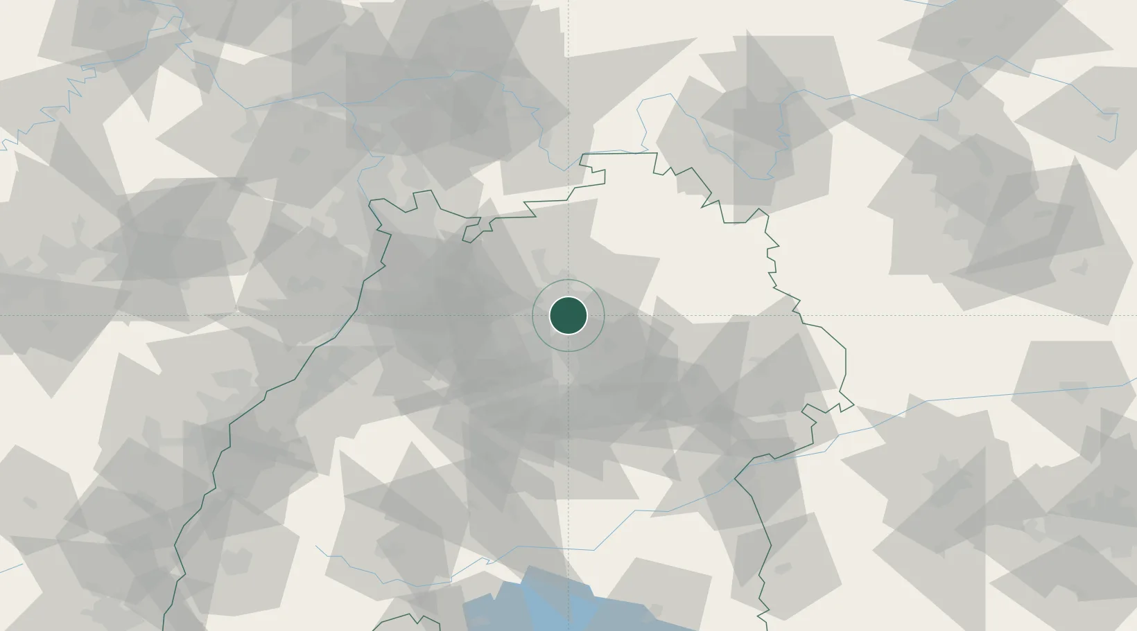
Untergruppenbach
49.0833°, 9.2667°
7,567
Population
2
Transport functions
Transport Functions
Road
Multimodal
Hub Profile
Place type
Local administrative seat
Region
Baden-Wurttemberg
Population
7,567
Time zone
Europe/Berlin
Elevation
254 m
Location
Nearby Logistics Neighbours
Cities
- 1Talheim5 km
- 2Schozach5 km
- 3Neckarwestheim7 km
- 4Lauffen am Neckar9 km
- 5Erlenbach (Heilbronn)9 km
Airports
- 1Adolf Würth Airport38 km
- 2Stuttgart Airport44 km
- 3Niederstetten Army Air Base61 km
- 4Mannheim-City Airport70 km
- 5Karlsruhe Baden-Baden Airport93 km
Trade Zones
- 1ZFU Neuhof126 km
- 2ZFU Hautepierre127 km
- 3ZFU La Cité Behren-lès-Forbach171 km
- 4ZFU Mulhouse206 km
- 5ZFU Metz226 km
DatabookThe Record of Consolidated Knowledge
Germany beyond logistics?