Transport Functions
Rail
Road
Multimodal
Hub Profile
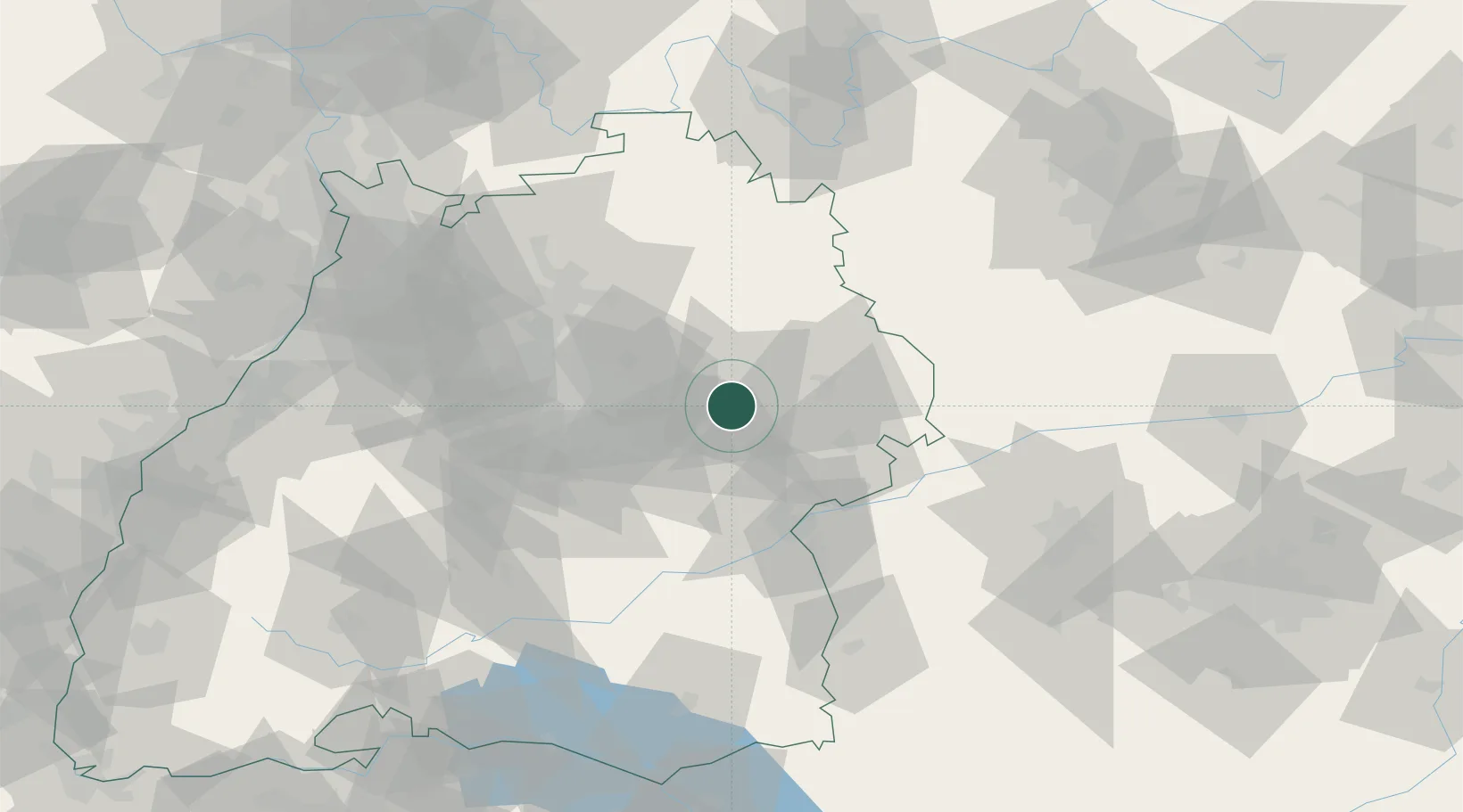
Region
BW
Location
Nearby Logistics Neighbours
Cities
- 1Durlangen6 km
- 2Ottenbach8 km
- 3Wäschenbeuren8 km
- 4Spraitbach9 km
- 5Birenbach10 km
Ports
- 1Nogaro424 km
- 2Porto Di Lido-Venezia426 km
- 3Grado435 km
- 4Monfalcone440 km
- 5Porto Di Chioggia440 km
Airports
- 1Adolf Würth Airport35 km
- 2Stuttgart Airport43 km
- 3Laupheim Air Base65 km
- 4Niederstetten Army Air Base67 km
- 5Mengen-Hohentengen Airfield88 km
Trade Zones
- 1ZFU Neuhof151 km
- 2ZFU Hautepierre155 km
- 3ZFU La Cité Behren-lès-Forbach212 km
- 4ZFU Mulhouse216 km
- 5Livigno Free Trade Zone253 km
DatabookThe Record of Consolidated Knowledge
Germany beyond logistics?