Transport Functions
Rail
Road
Hub Profile
Place type
Local administrative seat
Region
Baden-Wurttemberg
Population
3,924
Time zone
Europe/Berlin
Elevation
415 m
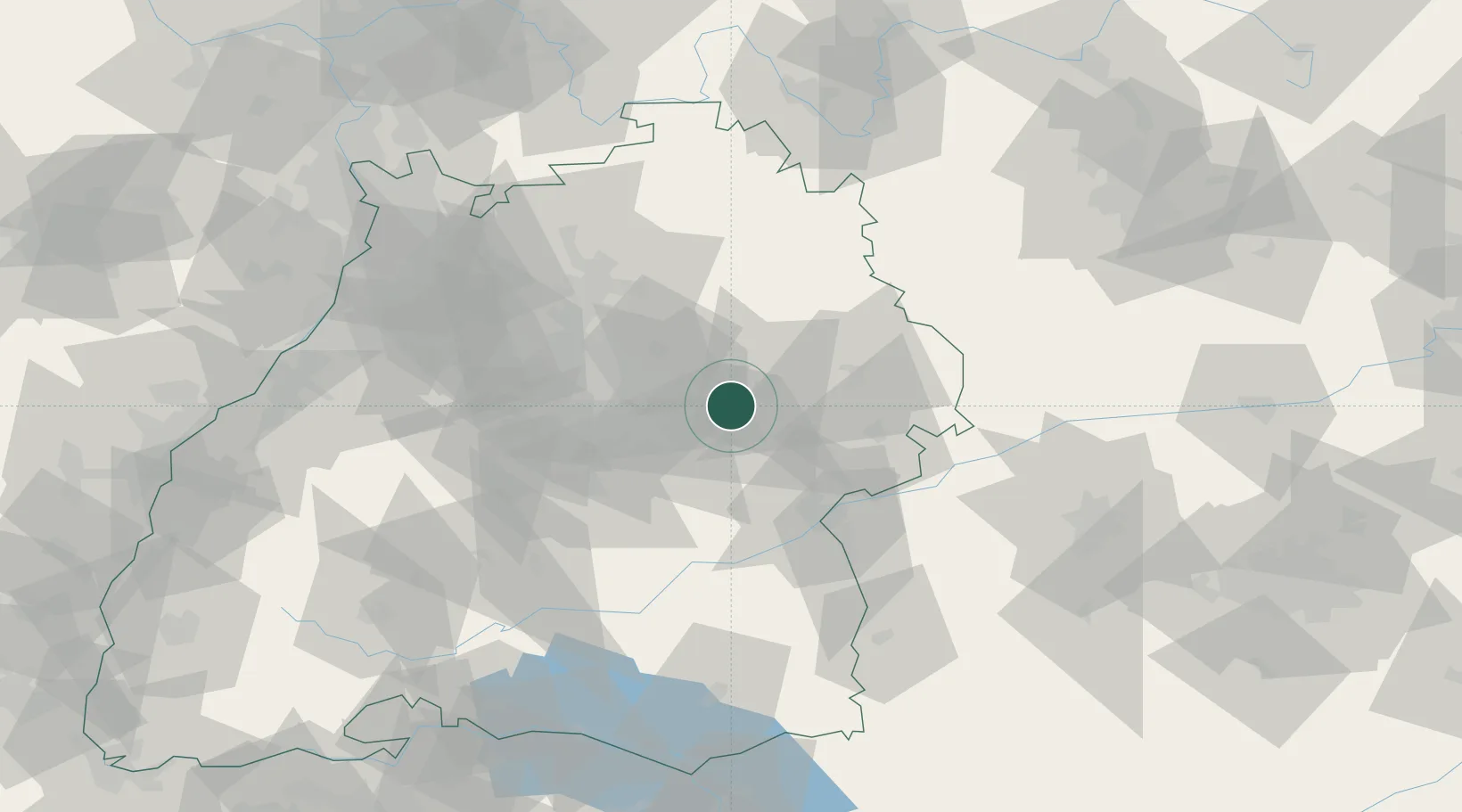
Location
Nearby Logistics Neighbours
Cities
- 1Birenbach2 km
- 2Wangen6 km
- 3Ottenbach6 km
- 4Schwäbisch Gmünd8 km
- 5Wangen8 km
Ports
- 1Nogaro425 km
- 2Porto Di Lido-Venezia427 km
- 3Grado437 km
- 4Porto Di Chioggia440 km
- 5Monfalcone442 km
Airports
- 1Stuttgart Airport35 km
- 2Adolf Würth Airport40 km
- 3Laupheim Air Base63 km
- 4Niederstetten Army Air Base72 km
- 5Mengen-Hohentengen Airfield83 km
Trade Zones
- 1ZFU Neuhof143 km
- 2ZFU Hautepierre147 km
- 3ZFU La Cité Behren-lès-Forbach206 km
- 4ZFU Mulhouse207 km
- 5ZFU Belfort247 km
DatabookThe Record of Consolidated Knowledge
Germany beyond logistics?