Transport Functions
Rail
Road
Hub Profile
Place type
District seat
Region
Saxony-Anhalt
Population
32,113
Time zone
Europe/Berlin
Elevation
86 m
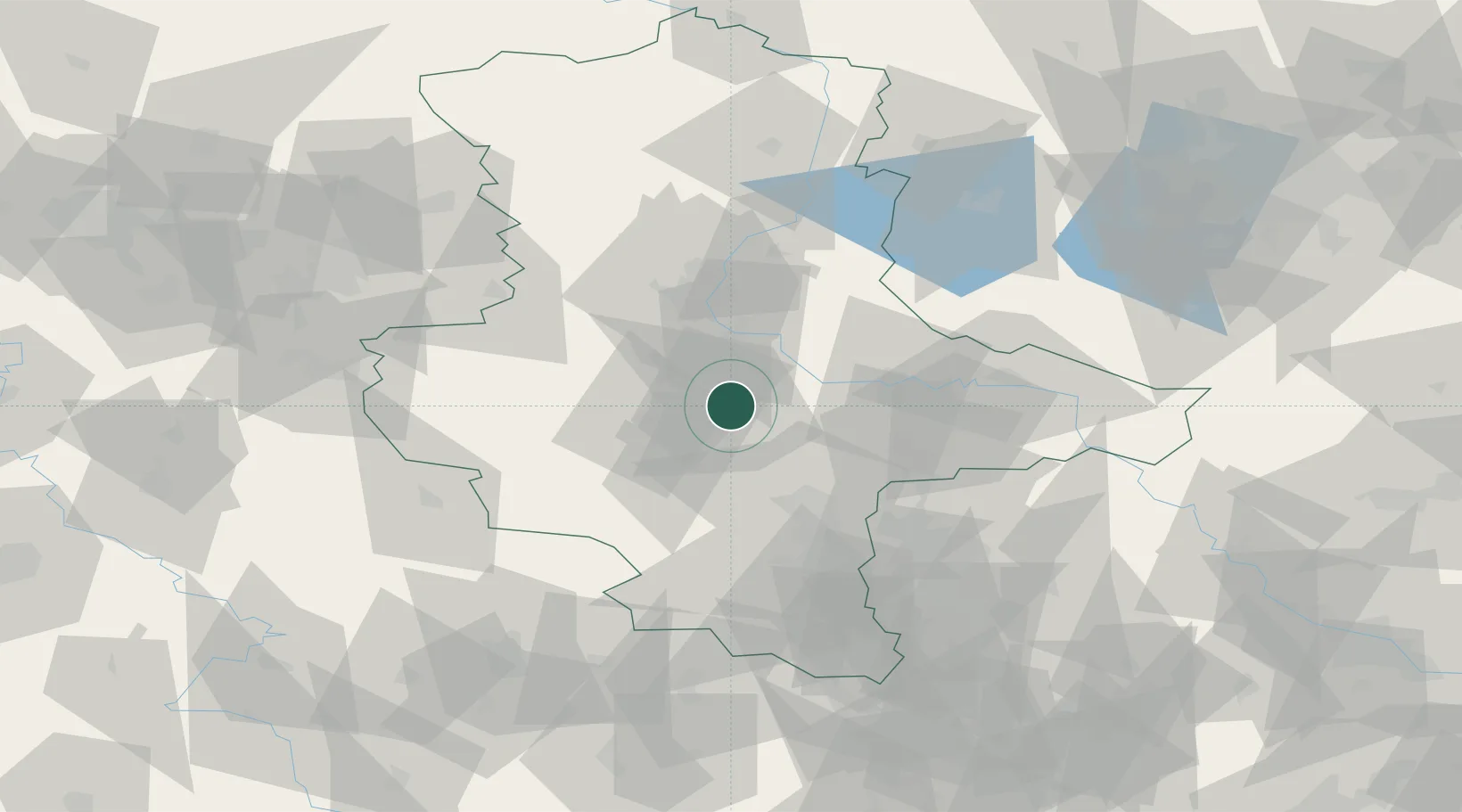
Location
Nearby Logistics Neighbours
Cities
- 1Nienburg4 km
- 2Calbe11 km
- 3Alsleben12 km
- 4Foerderstedt13 km
- 5Eickendorf17 km
Ports
- 1Hamburg229 km
- 2Wismar234 km
- 3Lubeck242 km
- 4Lubeck-Travemunde248 km
- 5Bremen250 km
Airports
- 1Zerbst Airfield36 km
- 2Leipzig/Halle Airport55 km
- 3Holzdorf Air Base99 km
- 4Braunschweig-Wolfsburg Airport99 km
- 5Leipzig–Altenburg Airport106 km
Trade Zones
DatabookThe Record of Consolidated Knowledge
Germany beyond logistics?