Transport Functions
Multimodal
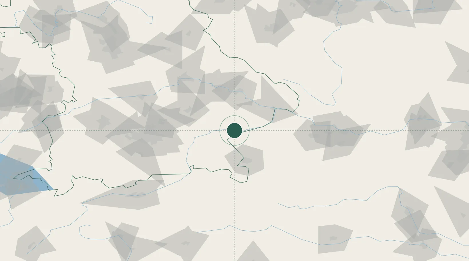
Hub Profile
Place type
Populated place
Region
Bavaria
Population
2,654
Time zone
Europe/Berlin
Elevation
365 m
Location
Nearby Logistics Neighbours
Cities
- 1Wimpassing6 km
- 2Kirchdorf am Inn9 km
- 3Burghausen9 km
- 4Ranshofen11 km
- 5Neuötting11 km
Ports
- 1Nogaro278 km
- 2Monfalcone279 km
- 3Grado286 km
- 4Trieste297 km
- 5Muggia303 km
Airports
- 1Salzburg Airport52 km
- 2Landshut Airfield67 km
- 3Munich Airport80 km
- 4Linz-Hörsching Airport99 km
- 5Ingolstadt Manching Airport110 km
Trade Zones
DatabookThe Record of Consolidated Knowledge
Germany beyond logistics?