UN/LOCODE hub · Germany
DEWMP

Wimpassing

48.2833°, 12.9167°
2
Transport functions

Transport Functions

Road
Multimodal
UN/LOCODE

Hub Profile

Place type
Populated place
GeoNames
Region
Bavaria
GeoNames
Time zone
Europe/Berlin
GeoNames
Elevation
486 m
GeoNames

Location

Location of DEWMP
Natural Earth 10m (public domain) · Bavaria · DEWMP · 48.28, 12.92GoogleOSMYandex

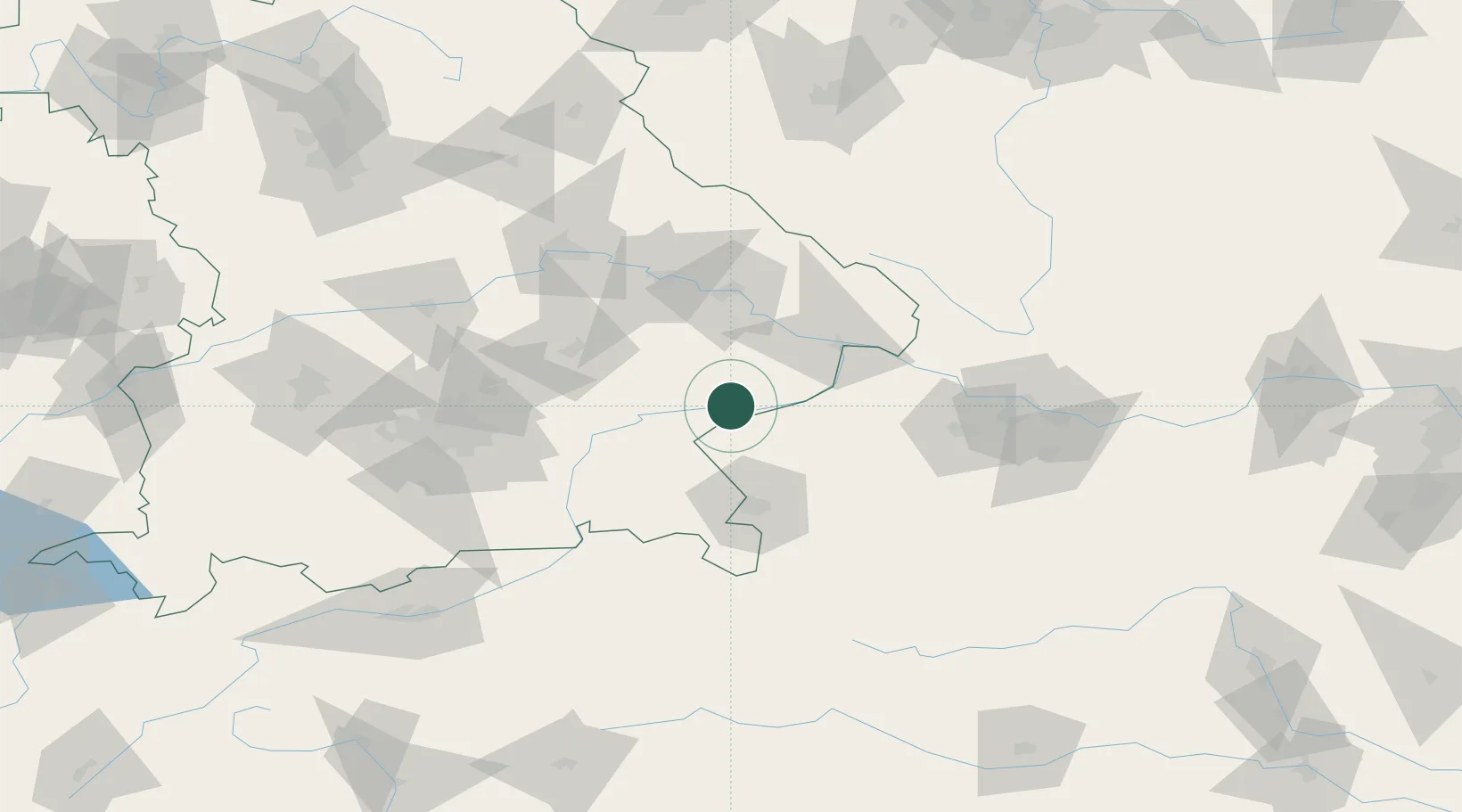
Nearby Logistics Neighbours

Cities
  1. 1Kirchdorf am Inn5 km
  2. 2Marktl6 km
  3. 3Ranshofen8 km
  4. 4Braunau am Inn9 km
  5. 5Wurmannsquick12 km
Nearest neighbours — logibook spatial index (haversine) over the source coordinates
Ports
  1. 1Nogaro281 km
  2. 2Monfalcone282 km
  3. 3Grado289 km
  4. 4Trieste299 km
  5. 5Muggia305 km
Nearest neighbours — logibook spatial index (haversine) over the source coordinates
Airports
  1. 1Salzburg Airport55 km
  2. 2Landshut Airfield70 km
  3. 3Munich Airport84 km
  4. 4Linz-Hörsching Airport94 km
  5. 5Ingolstadt Manching Airport113 km
Nearest neighbours — logibook spatial index (haversine) over the source coordinates
Trade Zones
  1. 1Freeport of Deggendorf63 km
  2. 2Podbořany Industrial Zone219 km
  3. 3Světlá nad Sázavou Municipal Industrial Zone239 km
  4. 4Žatec - Triangle Strategic Industrial Zone239 km
  5. 5Most - Joseph Industrial Zone250 km
Nearest neighbours — logibook spatial index (haversine) over the source coordinates
DatabookThe Record of Consolidated Knowledge
Germany beyond logistics?
Browse databook

All Sources

LocationsUN/LOCODE
UN/LOCODE — free
Portsthe NGA World Port Index
Public domain (US gov)
AirportsOurAirports
Public domain
Trade Zonesthe World Bank SEZ database
CC BY 4.0
Trade ZonesOpen Zone Map
CC BY
← Germany locations