Transport Functions
Rail
Road
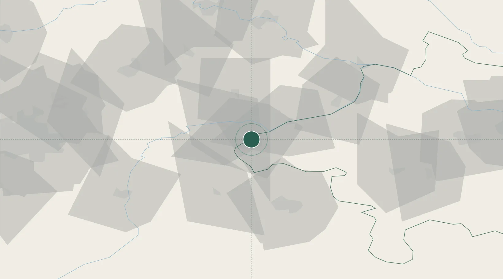
Hub Profile
Place type
Populated place
Region
Bavaria
Population
18,263
Time zone
Europe/Berlin
Elevation
422 m
Location
Nearby Logistics Neighbours
Cities
- 1Gendorf8 km
- 2Marktl9 km
- 3Neuötting12 km
- 4Ostermiething13 km
- 5Kirchdorf am Inn14 km
Ports
- 1Nogaro269 km
- 2Monfalcone271 km
- 3Grado277 km
- 4Trieste288 km
- 5Muggia294 km
Airports
- 1Salzburg Airport43 km
- 2Landshut Airfield70 km
- 3Munich Airport80 km
- 4Linz-Hörsching Airport101 km
- 5Ingolstadt Manching Airport114 km
Trade Zones
DatabookThe Record of Consolidated Knowledge
Germany beyond logistics?