Transport Functions
Rail
Road
Multimodal
Hub Profile
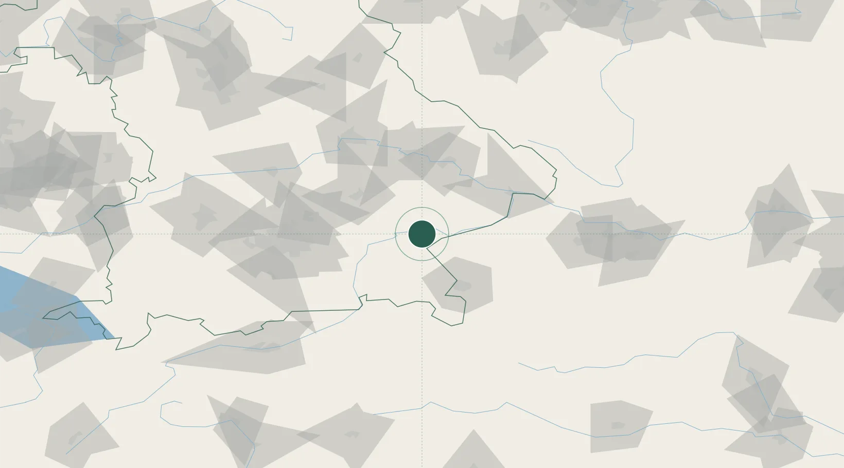
Place type
Populated place
Region
Bavaria
Population
8,741
Time zone
Europe/Berlin
Elevation
389 m
Location
Nearby Logistics Neighbours
Cities
- 1Gendorf6 km
- 2Töging am Inn9 km
- 3Marktl11 km
- 4Burghausen12 km
- 5Mühldorf am Inn14 km
Ports
- 1Nogaro277 km
- 2Monfalcone280 km
- 3Grado286 km
- 4Trieste298 km
- 5Muggia304 km
Airports
- 1Salzburg Airport54 km
- 2Landshut Airfield58 km
- 3Munich Airport69 km
- 4Ingolstadt Manching Airport101 km
- 5Altstetten Ultralight Field105 km
Trade Zones
DatabookThe Record of Consolidated Knowledge
Germany beyond logistics?