UN/LOCODE hub · Germany
DEKDO
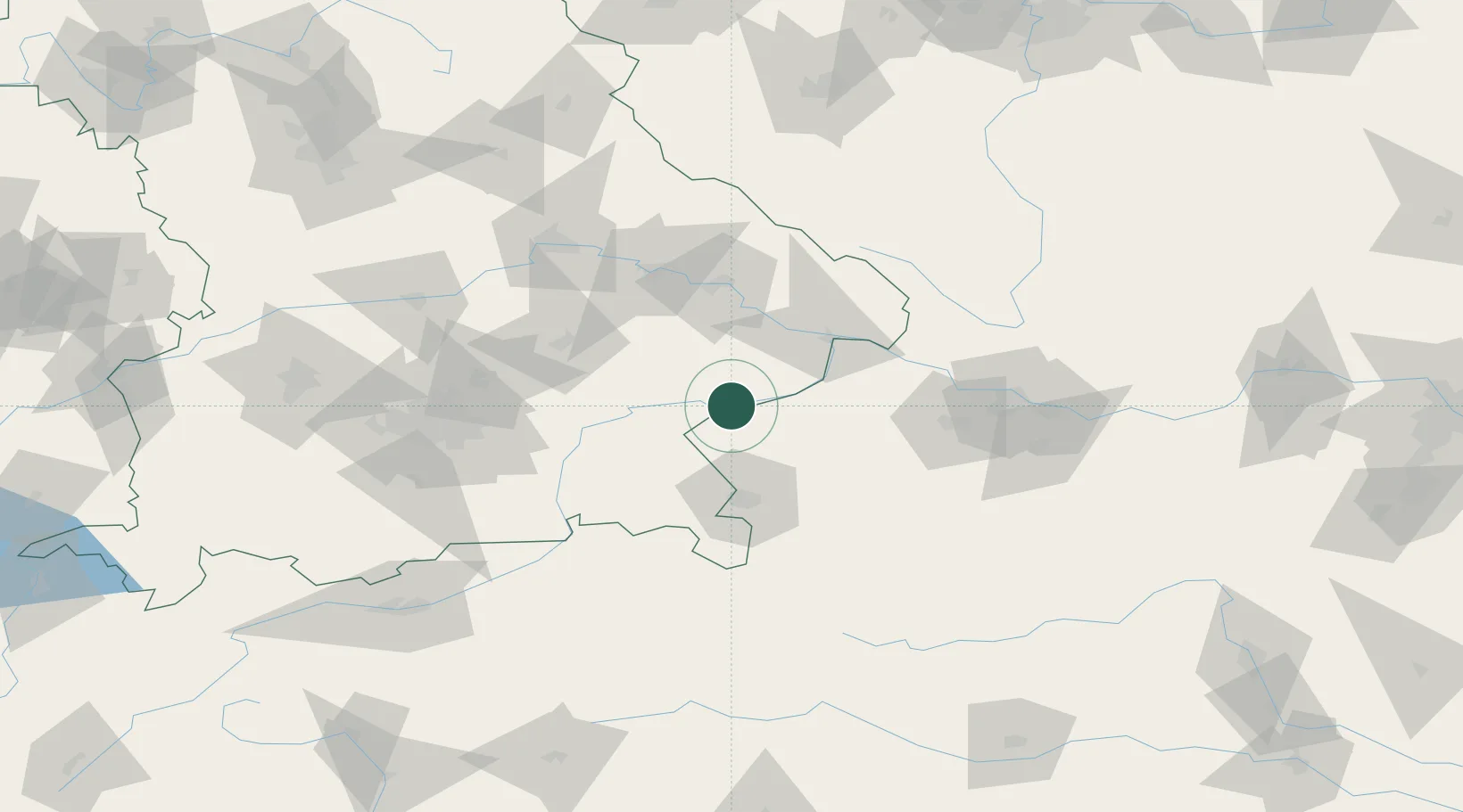
Kirchdorf am Inn
48.2500°, 12.9667°
5,366
Population
2
Transport functions
Transport Functions
Rail
Road
Hub Profile
Place type
Populated place
Region
Bavaria
Population
5,366
Time zone
Europe/Berlin
Elevation
351 m
Location
Nearby Logistics Neighbours
Cities
- 1Ranshofen3 km
- 2Braunau am Inn5 km
- 3Wimpassing5 km
- 4Marktl9 km
- 5Stubenberg11 km
Ports
- 1Nogaro277 km
- 2Monfalcone278 km
- 3Grado285 km
- 4Trieste295 km
- 5Muggia301 km
Airports
- 1Salzburg Airport51 km
- 2Landshut Airfield75 km
- 3Munich Airport88 km
- 4Linz-Hörsching Airport91 km
- 5Ingolstadt Manching Airport118 km
Trade Zones
DatabookThe Record of Consolidated Knowledge
Germany beyond logistics?