Transport Functions
Port
Road
Hub Profile
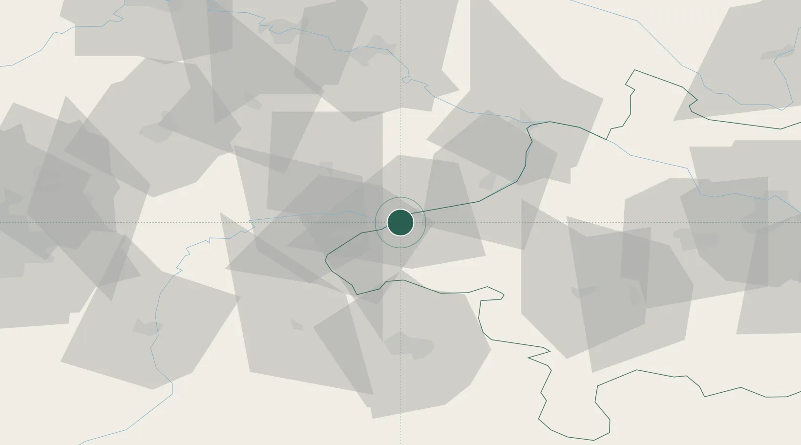
Place type
Populated place
Region
Upper Austria
Population
2,319
Time zone
Europe/Vienna
Elevation
358 m
Location
Nearby Logistics Neighbours
Cities
- 1Braunau am Inn3 km
- 2Kirchdorf am Inn3 km
- 3Wimpassing8 km
- 4Stubenberg11 km
- 5Marktl11 km
Ports
- 1Nogaro275 km
- 2Monfalcone276 km
- 3Grado283 km
- 4Trieste293 km
- 5Muggia299 km
Airports
- 1Salzburg Airport49 km
- 2Landshut Airfield78 km
- 3Linz-Hörsching Airport88 km
- 4Munich Airport91 km
- 5Ingolstadt Manching Airport121 km
Trade Zones
DatabookThe Record of Consolidated Knowledge
Austria beyond logistics?