Transport Functions
Multimodal
Hub Profile
Place type
Populated place
Region
Baden-Wurttemberg
Time zone
Europe/Berlin
Elevation
573 m
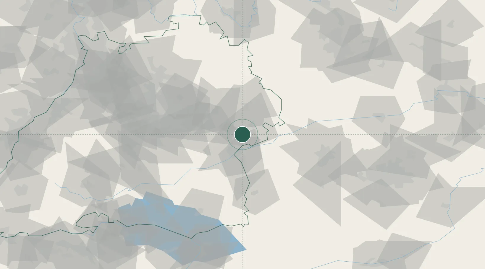
Location
Nearby Logistics Neighbours
Cities
- 1Rammingen10 km
- 2Heidenheim an der Brenz13 km
- 3Beimerstetten13 km
- 4Giengen13 km
- 5Niederstotzingen13 km
Ports
- 1Nogaro392 km
- 2Porto Di Lido-Venezia395 km
- 3Grado403 km
- 4Monfalcone408 km
- 5Porto Di Chioggia409 km
Airports
- 1Laupheim Air Base42 km
- 2Adolf Würth Airport63 km
- 3Stuttgart Airport63 km
- 4Augsburg Airport66 km
- 5Memmingen Allgau Airport67 km
Trade Zones
- 1ZFU Neuhof170 km
- 2ZFU Hautepierre175 km
- 3Freeport of Deggendorf210 km
- 4ZFU Mulhouse223 km
- 5Livigno Free Trade Zone228 km
DatabookThe Record of Consolidated Knowledge
Germany beyond logistics?