Transport Functions
Road
Multimodal
Hub Profile
Place type
Local administrative seat
Region
Baden-Wurttemberg
Population
1,303
Time zone
Europe/Berlin
Elevation
509 m
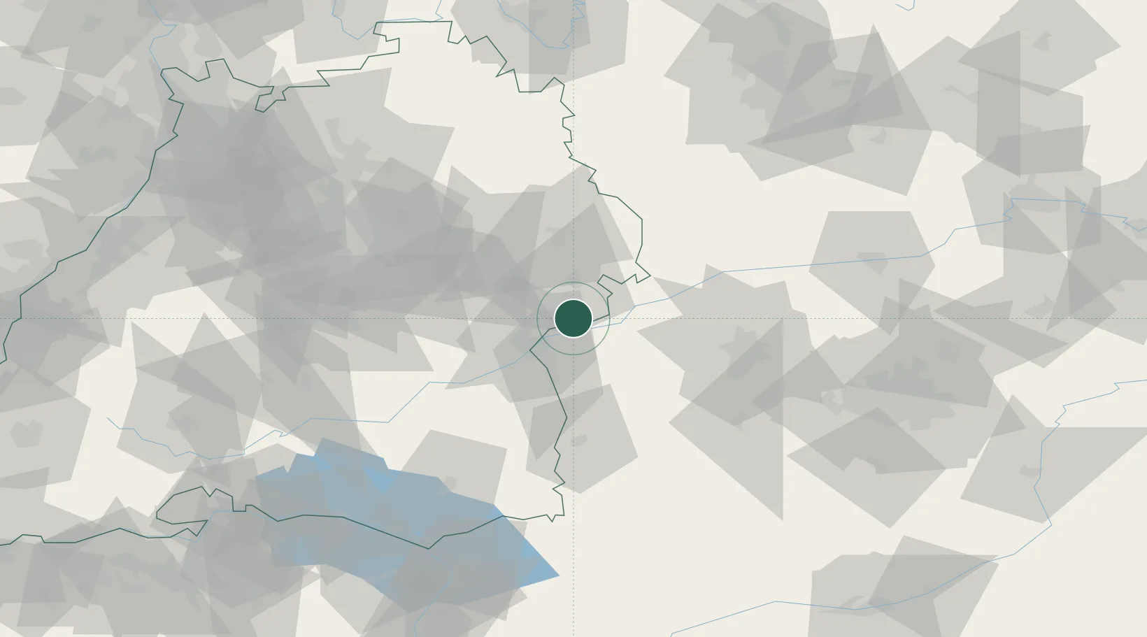
Location
Nearby Logistics Neighbours
Cities
- 1Niederstotzingen6 km
- 2Unterelchingen7 km
- 3Sontheim an der Brenz9 km
- 4Baechingen10 km
- 5Mehrstetten10 km
Ports
- 1Nogaro381 km
- 2Porto Di Lido-Venezia385 km
- 3Grado393 km
- 4Monfalcone397 km
- 5Porto Di Chioggia399 km
Airports
- 1Laupheim Air Base38 km
- 2Augsburg Airport57 km
- 3Memmingen Allgau Airport59 km
- 4Lechfeld Air Base63 km
- 5Stuttgart Airport72 km
Trade Zones
- 1ZFU Neuhof177 km
- 2ZFU Hautepierre182 km
- 3Freeport of Deggendorf204 km
- 4Livigno Free Trade Zone221 km
- 5ZFU Mulhouse227 km
DatabookThe Record of Consolidated Knowledge
Germany beyond logistics?