UN/LOCODE hub · Germany
DEHD2
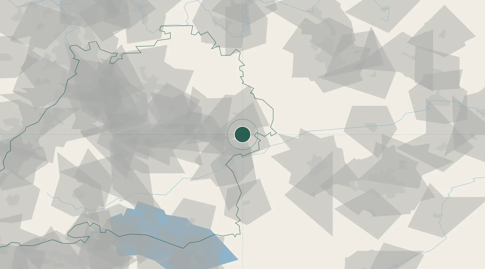
Heidenheim an der Brenz
48.6833°, 10.1500°
50,067
Population
1
Transport functions
Transport Functions
Multimodal
Hub Profile
Place type
District seat
Region
Baden-Wurttemberg
Population
50,067
Time zone
Europe/Berlin
Elevation
494 m
Location
Nearby Logistics Neighbours
Cities
- 1Syrgenstein8 km
- 2Staufen9 km
- 3Giengen9 km
- 4Steinweiler10 km
- 5Oberkochen12 km
Ports
- 1Nogaro397 km
- 2Porto Di Lido-Venezia402 km
- 3Grado408 km
- 4Monfalcone412 km
- 5Porto Di Chioggia417 km
Airports
- 1Laupheim Air Base54 km
- 2Adolf Würth Airport55 km
- 3Augsburg Airport64 km
- 4Stuttgart Airport68 km
- 5Lechfeld Air Base76 km
Trade Zones
- 1ZFU Neuhof176 km
- 2ZFU Hautepierre181 km
- 3Freeport of Deggendorf203 km
- 4ZFU Mulhouse233 km
- 5Livigno Free Trade Zone239 km
DatabookThe Record of Consolidated Knowledge
Germany beyond logistics?